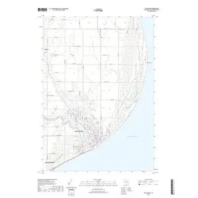
2018 Map of Two Rivers
USGS Topo · Published 2018About this map
Two Rivers sits at the confluence of the East Twin River and West Twin River as they enter Lake Michigan at Maritime Bay. This 2018 survey illustrates the modern layout of the city and its surrounding agricultural and woodland fringes, including the northern edge of Manitowoc. The landscape is defined by the winding river valleys and the prominent projection of Rawley Point to the northeast. Cultural and genealogical markers are numerous, with several established burial grounds such as Holy Cross Cem, Forest View Cem, and the more rural Saxonburg Cem and Tannery Cem. The area serves as a significant recreational corridor, most notably marked by the winding path of the Ice Age National Scenic Trail which traverses the lakefront and riverbanks. The map also captures the smaller settlement of Mishicot to the northwest, connected to the larger coastal centers by a network of historic county roads and local routes like Co Rd V and Co Hwy VV.
Find a feature on this map
73 named features on this map. Tap any name to fly to it.
Don’t see what you’re looking for? This feature index may not catch every label — zoom into the map to look around manually.
Map Details
Editions of this 2018 Two Rivers Map
This is the sole edition of this map. No revisions or reprints were ever made.
Other maps of this area

1954 · Kewaunee
USGS Topo · 1:62,500

1954 · Manitowoc
USGS Topo · 1:62,500

1954 · Manitowoc
USGS Topo · 1:24,000

1954 · Manitowoc
USGS Topo · 1:250,000

1958 · Manitowoc
USGS Topo · 1:250,000
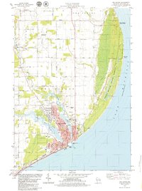
1978 · Two Rivers
USGS Topo · 1:24,000
1978 · Larrabee
USGS Topo · 1:24,000
1978 · Mishicot
USGS Topo · 1:24,000
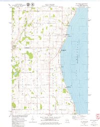
1978 · Two Creeks
USGS Topo · 1:24,000
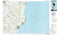
1984 · Manitowoc
USGS Topo · 1:100,000