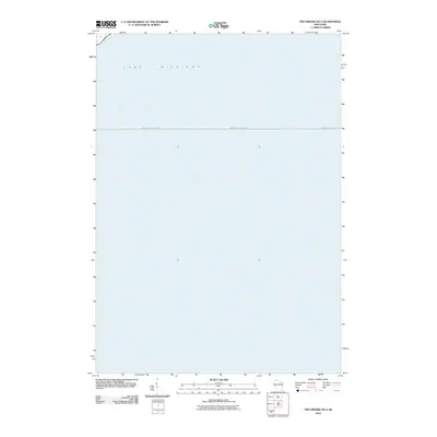
2010 Map of Two Rivers OE S
USGS Topo · Published 2010About this map
Lake Michigan dominates this coastal maritime survey, providing a focused view of the open water and navigational routes off the Wisconsin shoreline. The sheet identifies the significant Manitowoc-Ludington boundary, which marks the vital cross-lake transportation corridor connecting these two Great Lakes ports. Unlike typical terrestrial maps, this chart emphasizes the offshore environment and the political or commercial divisions within the lake itself during the early twenty-first century. It serves as a specific reference for the waters just east of the shoreline, capturing the spatial relationship between the Wisconsin coast and the shipping lanes that have historically linked the regional economy to Michigan's lower peninsula.
Find a feature on this map
2 named features on this map. Tap any name to fly to it.
Don’t see what you’re looking for? This feature index may not catch every label — zoom into the map to look around manually.
Map Details
Editions of this 2010 Two Rivers OE S Map
This is the sole edition of this map. No revisions or reprints were ever made.
Other maps of this area

1954 · Manitowoc
USGS Topo · 1:62,500

1954 · Cleveland
USGS Topo · 1:24,000

1954 · Sheboygan North
USGS Topo · 1:62,500

1954 · Manitowoc
USGS Topo · 1:24,000

1954 · Milwaukee
USGS Topo · 1:250,000

1954 · Manitowoc
USGS Topo · 1:250,000

1958 · Manitowoc
USGS Topo · 1:250,000

1958 · Milwaukee
USGS Topo · 1:250,000
1978 · Two Rivers
USGS Topo · 1:24,000
1978 · Mishicot
USGS Topo · 1:24,000