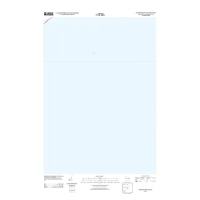
2013 Map of Two Rivers OE S
USGS Topo · Published 2013About this map
Lake Michigan dominates the landscape of this coastal survey, which captures a specific stretch of the shoreline in Manitowoc County. The map is primarily an offshore study, focusing on the aquatic expanse while touching upon the very edge of the Wisconsin coast. The presence of Memorial Dr in the upper corner provides a critical terrestrial anchor, marking the path of the scenic highway as it skirts the waterfront. This 2013 edition by the U.S. Geological Survey reflects the modern geospatial documentation of the Lake Michigan coast, providing researchers and maritime enthusiasts with a precise record of the shoreline and the immediate coastal infrastructure during the early twenty-first century.
Find a feature on this map
2 named features on this map. Tap any name to fly to it.
Don’t see what you’re looking for? This feature index may not catch every label — zoom into the map to look around manually.
Map Details
Editions of this 2013 Two Rivers OE S Map
This is the sole edition of this map. No revisions or reprints were ever made.
Other maps of this area

1954 · Manitowoc
USGS Topo · 1:62,500

1954 · Cleveland
USGS Topo · 1:24,000

1954 · Sheboygan North
USGS Topo · 1:62,500

1954 · Manitowoc
USGS Topo · 1:24,000

1954 · Milwaukee
USGS Topo · 1:250,000

1954 · Manitowoc
USGS Topo · 1:250,000

1958 · Manitowoc
USGS Topo · 1:250,000

1958 · Milwaukee
USGS Topo · 1:250,000
1978 · Two Rivers
USGS Topo · 1:24,000
1978 · Mishicot
USGS Topo · 1:24,000