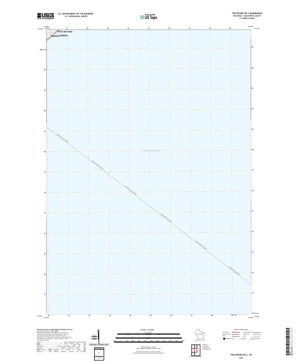
2022 Map of Two Rivers OE S
USGS Topo · Published 2022About this map
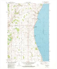
Lake Michigan dominates this coastal survey, where the waters of the Great Lakes meet the eastern edge of Manitowoc County. The most striking human-made feature is the long, diagonal path of the Lake Michigan Car Ferry, which cuts across the open water from the vicinity of Two Rivers. This nautical transit line serves as a modern reminder of the region's enduring maritime economy and its role as a transportation bridge across the water to Michigan. While the land area is minimal, the intersection of township boundaries like t19n r24e provides a precise geographical anchor for the maritime activity that defines this stretch of the Wisconsin shoreline.
Find a feature on this map
5 named features on this map. Tap any name to fly to it.
Don’t see what you’re looking for? This feature index may not catch every label — zoom into the map to look around manually.
Map Details
Editions of this 2022 Two Rivers OE S Map
This is the sole edition of this map. No revisions or reprints were ever made.
Historical Maps of Two Rivers Through Time
12 maps found
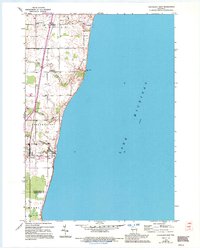
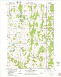
1954 Cleveland East
Manitowoc County, WI
1954 Cleveland West
Manitowoc County, WI
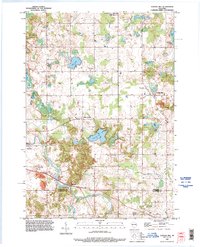
1954 School Hill
Manitowoc County, WI
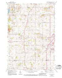
1978 Larrabee
Manitowoc County, WI
1978 Two Creeks
Manitowoc County, WI
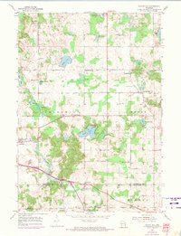
1992 School Hill
Manitowoc County, WI
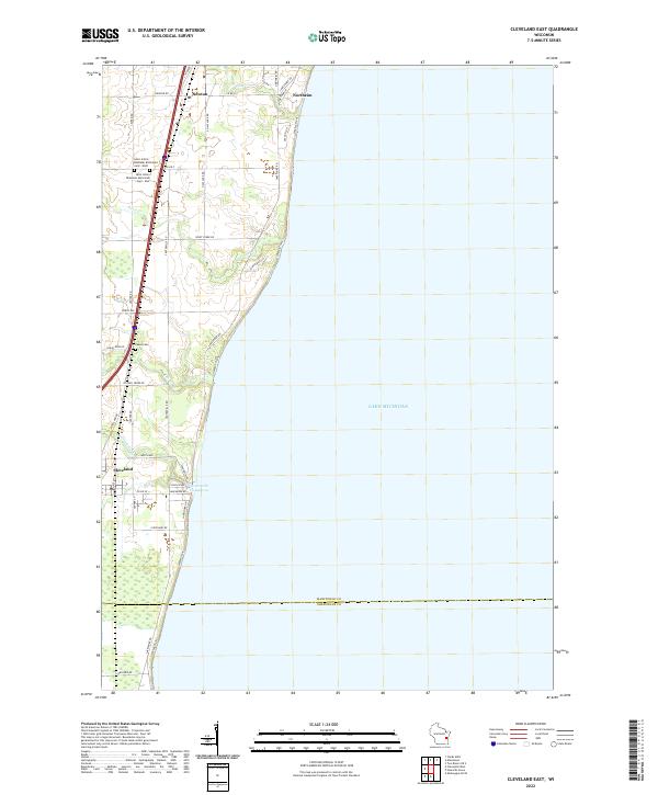
2022 Cleveland East
Manitowoc County, WI
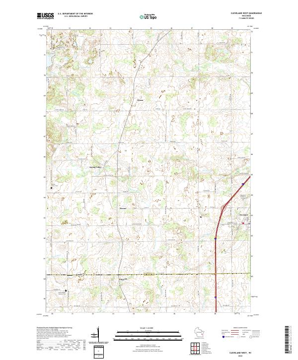
2022 Cleveland West
Manitowoc County, WI
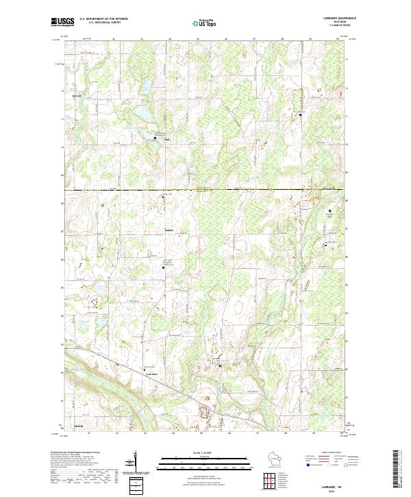
2022 Larrabee
Manitowoc County, WI
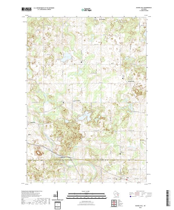
2022 School Hill
Manitowoc County, WI
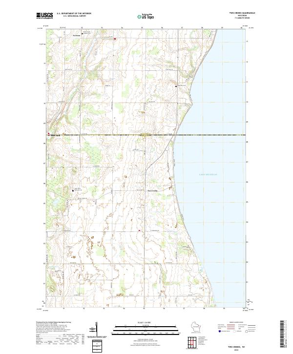
2022 Two Creeks
Manitowoc County, WI
2022 Two Rivers OE S
Manitowoc County, WI