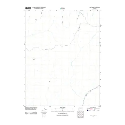
2010 Map of Two V Basin
USGS Topo · Published 2010About this map
Piñon Mesa defines the northern reaches of this high-plateau landscape in Mesa County, where the drainage patterns of the Uncompahgre Plateau create a complex network of canyons and basins. The central geography is dominated by Two V Basin and the neighboring Lost Horse Basin, areas historically utilized for ranching as evidenced by the namesake Two V Ranch. These basins are defined by seasonal watercourses and deep incisions like Bull Draw and McKenzie Canyon. In the southern portion of the map, the terrain drops dramatically into the massive Unaweep Canyon, a rare geological feature where the North Fork West Creek and West Creek flow in opposite directions from a shared divide. This 2010 survey highlights the sparse road network, primarily composed of routes like M S RD, serving this isolated grazing and wilderness area.
Find a feature on this map
17 named features on this map. Tap any name to fly to it.
Don’t see what you’re looking for? This feature index may not catch every label — zoom into the map to look around manually.
Map Details
Editions of this 2010 Two V Basin Map
This is the sole edition of this map. No revisions or reprints were ever made.
Other maps of this area

1885 · La Sal
USGS Topo · 1:250,000

1949 · Gateway
USGS Topo · 1:24,000

1950 · Pine Mountain
USGS Topo · 1:24,000

1952 · Gateway
USGS Topo · 1:24,000

1954 · Mt. Waas 4 NE
USGS Topo · 1:24,000

1954 · Mt. Waas 1 NE
USGS Topo · 1:24,000

1954 · Mt. Waas 1 SE
USGS Topo · 1:24,000

1954 · Coates Creek
USGS Topo · 1:62,500

1954 · Polar Mesa
USGS Topo · 1:62,500

1956 · Moab
USGS Topo · 1:250,000