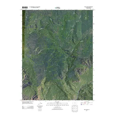
2013 Map of Two V Basin
USGS Topo · Published 2013About this map
Piñon Mesa dominates the high-altitude landscape of this western Colorado survey, where ranching and rugged drainage systems define the geography. The high plateau descends into a series of dramatic landforms, most notably the Two V Basin and the isolated Two V Ranch, which represent the rare human footprint in this high-country environment. The intricate network of canyons, including McKenzie Canyon, Briar Canyon, and Middle Canyon, illustrates the complex erosion patterns common on the Uncompahgre Plateau.
Find a feature on this map
24 named features on this map. Tap any name to fly to it.
Don’t see what you’re looking for? This feature index may not catch every label — zoom into the map to look around manually.
Map Details
Editions of this 2013 Two V Basin Map
This is the sole edition of this map. No revisions or reprints were ever made.
Other maps of this area

1885 · La Sal
USGS Topo · 1:250,000

1949 · Gateway
USGS Topo · 1:24,000

1950 · Pine Mountain
USGS Topo · 1:24,000

1952 · Gateway
USGS Topo · 1:24,000

1954 · Mt. Waas 4 NE
USGS Topo · 1:24,000

1954 · Mt. Waas 1 NE
USGS Topo · 1:24,000

1954 · Mt. Waas 1 SE
USGS Topo · 1:24,000

1954 · Coates Creek
USGS Topo · 1:62,500

1954 · Polar Mesa
USGS Topo · 1:62,500

1956 · Moab
USGS Topo · 1:250,000