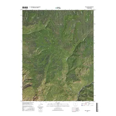
2016 Map of Two V Basin
USGS Topo · Published 2016About this map
Piñon Mesa anchors this high-elevation landscape in Mesa County, where deep incisions from McKenzie Canyon and Briar Canyon define the drainage patterns into the surrounding basins. The namesake Two V Basin and nearby Lost Horse Basin indicate a history of ranching and livestock management, supported by a network of intermittent water sources like Granite Cr and Coates Cr. The topography drops sharply into Unaweep Canyon at the southern edge of the survey, a geological feature of significant interest due to its massive scale and unique drainage history. Evidence of land use is visible through the MS RD and other primitive routes that navigate the steep breaks of Bull Draw and Turner Gulch, connecting the high mesa tops to the canyon floors below.
Find a feature on this map
21 named features on this map. Tap any name to fly to it.
Don’t see what you’re looking for? This feature index may not catch every label — zoom into the map to look around manually.
Map Details
Editions of this 2016 Two V Basin Map
This is the sole edition of this map. No revisions or reprints were ever made.
Other maps of this area

1885 · La Sal
USGS Topo · 1:250,000

1949 · Gateway
USGS Topo · 1:24,000

1950 · Pine Mountain
USGS Topo · 1:24,000

1952 · Gateway
USGS Topo · 1:24,000

1954 · Mt. Waas 4 NE
USGS Topo · 1:24,000

1954 · Mt. Waas 1 NE
USGS Topo · 1:24,000

1954 · Mt. Waas 1 SE
USGS Topo · 1:24,000

1954 · Coates Creek
USGS Topo · 1:62,500

1954 · Polar Mesa
USGS Topo · 1:62,500

1956 · Moab
USGS Topo · 1:250,000