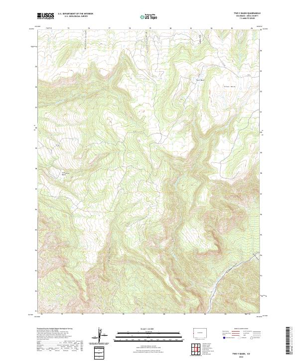
2022 Map of Two V Basin
USGS Topo · Published 2022About this map
Piñon Mesa defines the northern high ground of this section of the Colorado plateau, where numerous drainages like Bieser Cr, Nelson Cr, and McGinley Cr carve deep paths through the mesa's edge. The complex topography is punctuated by natural depressions like Two V Basin and Lost Horse Basin, which likely served as landmarks for early ranchers and travelers navigating this part of Mesa County.
Find a feature on this map
20 named features on this map. Tap any name to fly to it.
Don’t see what you’re looking for? This feature index may not catch every label — zoom into the map to look around manually.
Map Details
Editions of this 2022 Two V Basin Map
This is the sole edition of this map. No revisions or reprints were ever made.
Other maps of this area

1885 · La Sal
USGS Topo · 1:250,000

1949 · Gateway
USGS Topo · 1:24,000

1950 · Pine Mountain
USGS Topo · 1:24,000

1952 · Gateway
USGS Topo · 1:24,000

1954 · Mt. Waas 4 NE
USGS Topo · 1:24,000

1954 · Mt. Waas 1 NE
USGS Topo · 1:24,000

1954 · Mt. Waas 1 SE
USGS Topo · 1:24,000

1954 · Coates Creek
USGS Topo · 1:62,500

1954 · Polar Mesa
USGS Topo · 1:62,500

1956 · Moab
USGS Topo · 1:250,000