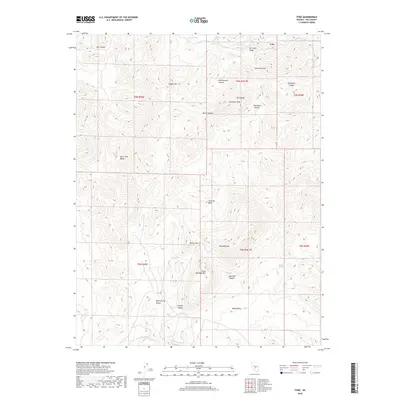
2018 Map of Tybo
USGS Topo · Published 2018About this map
The high-desert settlement of Tybo sits along the northern edge of this Nye County map, framed by the complex topography of the Hot Creek Range. The landscape is a network of named drainages and peaks that speak to the area's mining history, most notably Air Shaft Ridge and Amethyst Peak. High-altitude springs like Mule Shoe Spring and Cave Spring provided critical water sources in an otherwise arid environment of canyons and gulches. To the south, the terrain opens into broader features like Charcoal Basin and Wide Valley, separated by the prominent Peach Peak and Rawhide Mtn. This survey captures the relationship between these natural landmarks and the industrial heritage suggested by names like Gilmore Gulch and Crystal Canyon, providing a clear record of the district's geography in the early 21st century.
Find a feature on this map
33 named features on this map. Tap any name to fly to it.
Don’t see what you’re looking for? This feature index may not catch every label — zoom into the map to look around manually.
Map Details
Editions of this 2018 Tybo Map
This is the sole edition of this map. No revisions or reprints were ever made.
Other maps of this area

1956 · Tonopah
USGS Topo · 1:250,000

1959 · Tonopah
USGS Topo · 1:250,000

1962 · Tonopah
USGS Topo · 1:250,000

1967 · Blue Jay Spring
USGS Topo · 1:24,000

1967 · Tybo SE
USGS Topo · 1:24,000

1968 · Tybo
USGS Topo · 1:62,500

1968 · Warm Springs
USGS Topo · 1:62,500
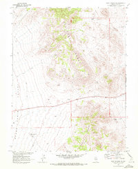
1968 · Warm Springs NW
USGS Topo · 1:24,000
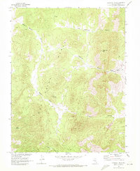
1968 · Flagstaff Mtn.
USGS Topo · 1:24,000
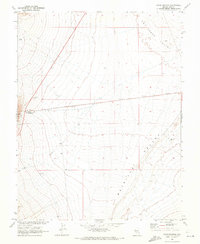
1968 · Warm Springs
USGS Topo · 1:24,000