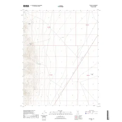
2018 Map of Tybo Well
USGS Topo · Published 2018About this map
Hot Creek Valley dominates the eastern half of this terrain, where the wide basin floor meets the steep, canyon-cut slopes of the mountains to the west. The landscape is defined by its drainage patterns, with Fairbanks Canyon, Red-Rock Canyon, and Music Canyon carving deep paths through the high country. Centrally located within this arid expanse is Tybo Well, a critical water point in a region where such resources dictate the movement of people and livestock. This survey illustrates the classic Basin and Range topography of Nye County, showing the intersection of public land survey sections across high-desert flats and rugged western heights.
Find a feature on this map
9 named features on this map. Tap any name to fly to it.
Don’t see what you’re looking for? This feature index may not catch every label — zoom into the map to look around manually.
Map Details
Editions of this 2018 Tybo Well Map
This is the sole edition of this map. No revisions or reprints were ever made.
Other maps of this area

1956 · Tonopah
USGS Topo · 1:250,000

1959 · Tonopah
USGS Topo · 1:250,000

1962 · Tonopah
USGS Topo · 1:250,000

1967 · Lunar Crater
USGS Topo · 1:62,500

1967 · Blue Jay Spring
USGS Topo · 1:24,000

1967 · Buckwheat Rim
USGS Topo · 1:24,000

1967 · Palisade Mesa
USGS Topo · 1:24,000

1967 · Tybo SE
USGS Topo · 1:24,000

1968 · Tybo
USGS Topo · 1:62,500

1968 · Warm Springs
USGS Topo · 1:62,500