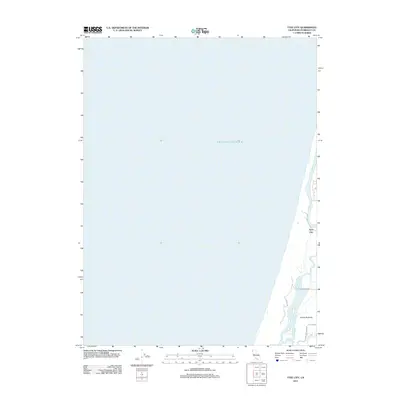
2012 Map of Tyee City
USGS Topo · Published 2012About this map
Tyee City and the surrounding coastal marshlands define this section of the Humboldt County coastline where the Mad River meets the Pacific Ocean. The landscape is dominated by the complex hydrology of the Mad River Slough and Liscom Slough, which weave through the low-lying Arcata Bottoms. This area represents a critical intersection of riverine and maritime environments, with the topography showing the transition from the river's mouth to the sandy beach. Local infrastructure is sparse, characterized by rural routes such as Jackson Ranch Rd and Lanphere Rd, reflecting the agricultural and natural character of the bottoms. The 2012 survey by the U. S. Geological Survey provides a precise view of the shoreline and waterway configurations before recent shifts in coastal morphology.
Find a feature on this map
10 named features on this map. Tap any name to fly to it.
Don’t see what you’re looking for? This feature index may not catch every label — zoom into the map to look around manually.
Map Details
Editions of this 2012 Tyee City Map
This is the sole edition of this map. No revisions or reprints were ever made.
Other maps of this area

1922 · Eureka
USGS Topo · 1:62,500

1933 · Eureka
USGS Topo · 1:48,000

1942 · Eureka
USGS Topo · 1:62,500

1945 · Trinidad
USGS Topo · 1:62,500

1949 · Eureka
USGS Topo · 1:250,000

1951 · Eureka
USGS Topo · 1:62,500
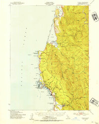
1952 · Trinidad
USGS Topo · 1:62,500
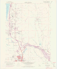
1952 · Arcata North
USGS Topo · 1:24,000
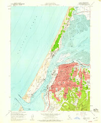
1958 · Eureka
USGS Topo · 1:24,000

1958 · Eureka
USGS Topo · 1:250,000