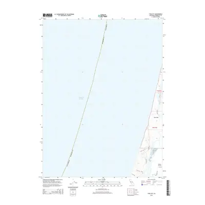
2015 Map of Tyee City
USGS Topo · Published 2015About this map
Tyee City stands at the edge of the coastal landscape where the Mad River meets the shoreline, north of the productive agricultural lands of the Arcata Bottoms. This 2015 study by the U.S. Geological Survey documents a delicate interface between the Pacific Ocean and the intricate wetlands of the Mad River Slough. The geography is defined by narrow coastal roads like Ocean Dr and Mad River Rd, which navigate the shifting terrain between the river's mouth and the open sea.
Find a feature on this map
18 named features on this map. Tap any name to fly to it.
Don’t see what you’re looking for? This feature index may not catch every label — zoom into the map to look around manually.
Map Details
Editions of this 2015 Tyee City Map
This is the sole edition of this map. No revisions or reprints were ever made.
Other maps of this area

1922 · Eureka
USGS Topo · 1:62,500

1933 · Eureka
USGS Topo · 1:48,000

1942 · Eureka
USGS Topo · 1:62,500

1945 · Trinidad
USGS Topo · 1:62,500

1949 · Eureka
USGS Topo · 1:250,000

1951 · Eureka
USGS Topo · 1:62,500
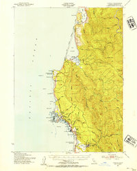
1952 · Trinidad
USGS Topo · 1:62,500
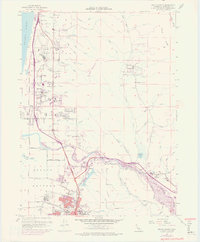
1952 · Arcata North
USGS Topo · 1:24,000
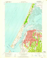
1958 · Eureka
USGS Topo · 1:24,000

1958 · Eureka
USGS Topo · 1:250,000