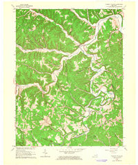
1962 Map of Tygarts Valley
USGS Topo · Published 1964About this map
Charlotte Furnace and Boone Furnace stand as industrial markers in this mid-century survey of the Appalachian foothills. The landscape is defined by the winding course of Tygarts Creek and its many tributaries, including Buffalo Creek and Grassy Creek. Small settlements like Kehoe, Iron Hill, and Gesling are connected by a network of unimproved roads and light-duty paths that follow the narrow valley floors between steep ridges.
Find a feature on this map
50 named features on this map. Tap any name to fly to it.
Don’t see what you’re looking for? This feature index may not catch every label — zoom into the map to look around manually.
Map Details
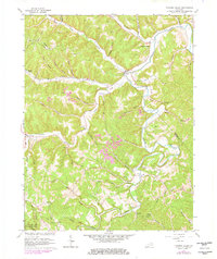
Editions of this 1962 Tygarts Valley Map
2 editions found
Other maps of this area

1903 · Kenova
USGS Topo · 1:125,000

1904 · Kenova
USGS Topo · 1:125,000

1915 · Garrison
USGS Topo · 1:62,500

1918 · Garrison
USGS Topo · 1:62,500

1926 · Greenup
USGS Topo · 1:48,000

1930 · Greenup
USGS Topo · 1:62,500

1949 · Garrison
USGS Topo · 1:24,000

1949 · Brushart
USGS Topo · 1:24,000

1950 · Brushart
USGS Topo · 1:24,000

1950 · Grahn
USGS Topo · 1:24,000