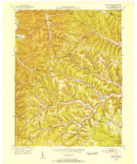
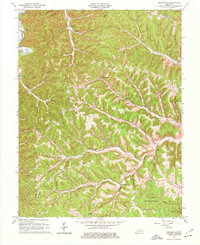
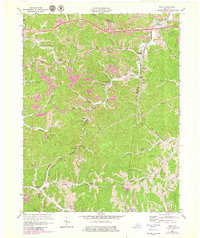
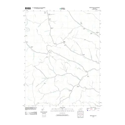
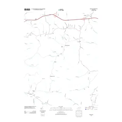
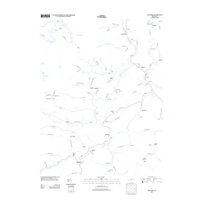
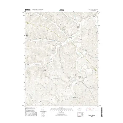
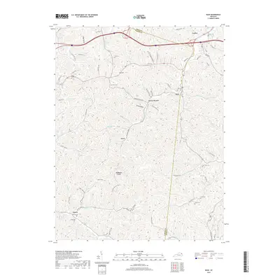
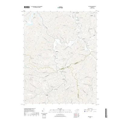
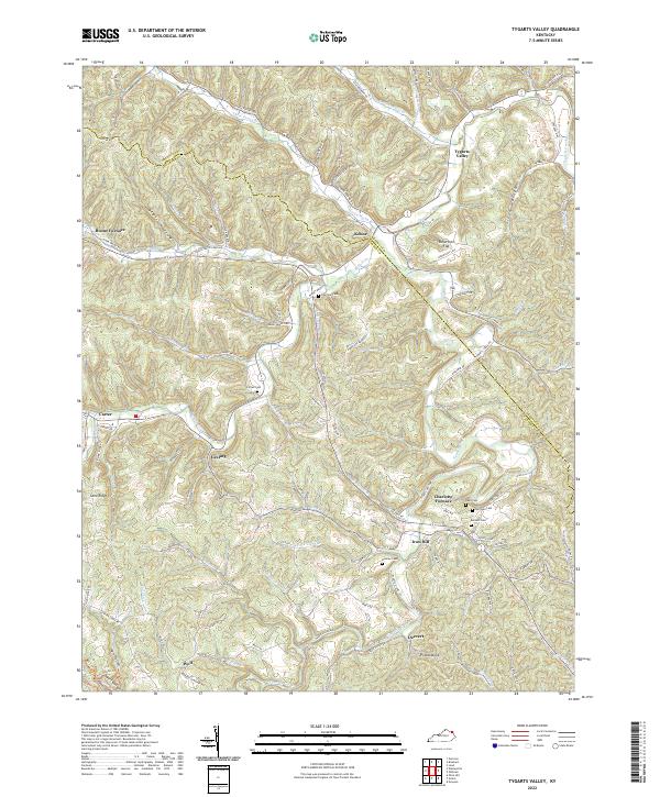
1962 Map of Tygarts Valley
USGS Topo · Published 1978About this map
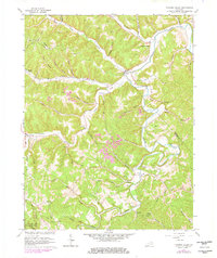
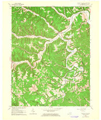
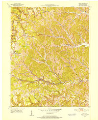
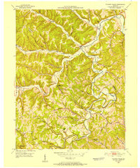
The industrial and extractive history of northeastern Kentucky is recorded across this landscape, where the legacy of early iron production and later clay mining is clearly marked. Locations like Boone Furnace and Charlotte Furnace anchor the map, serving as reminders of the 19th-century charcoal furnace industry that once thrived in these hollows. The winding course of Tygarts Creek dictates the geography of the area, creating the broad Robertson Flat and numerous narrow valleys where small settlements like Kehoe and Iron Hill took root. Numerous Claypits are scattered throughout the hills, particularly near Three Prong and Thomas Branch, indicating the area's later economic shift toward fireclay extraction. Genealogists will find many family burial grounds preserved here, including the Zornes Cem and Bentley Cem, while the southwestern corner highlights the recreational boundaries of Carter Caves State Park.
Find a feature on this map
54 named features on this map. Tap any name to fly to it.
Don’t see what you’re looking for? This feature index may not catch every label — zoom into the map to look around manually.
Map Details
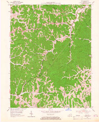
Editions of this 1962 Tygarts Valley Map
2 editions found
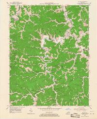
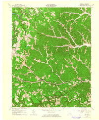
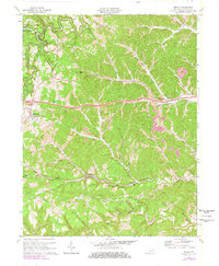
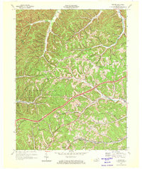
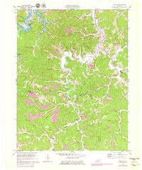
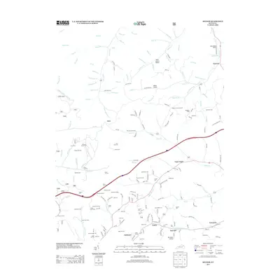
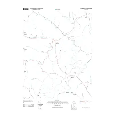
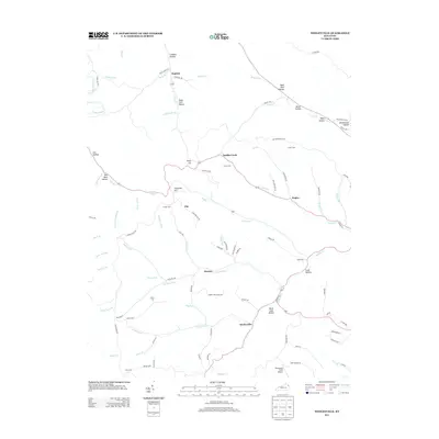
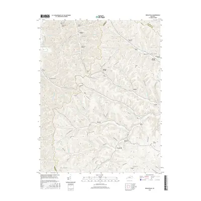
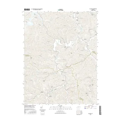
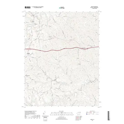
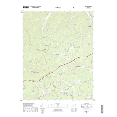
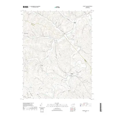
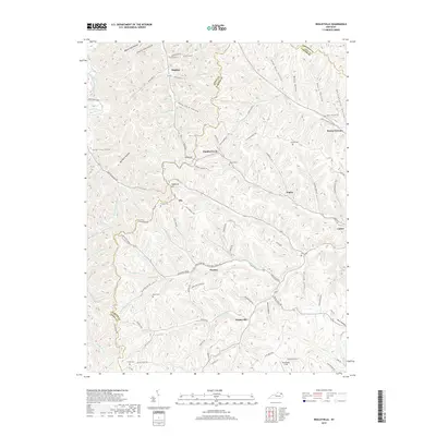
Historical Maps of Kehoe Through Time
43 maps found
1950 Grahn
Carter County, KY
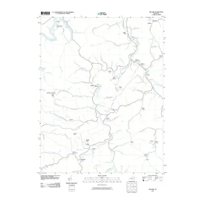
1950 Tygarts Valley
Carter County, KY
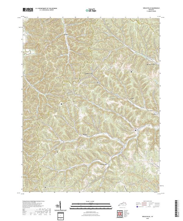
1950 Wesleyville
Carter County, KY

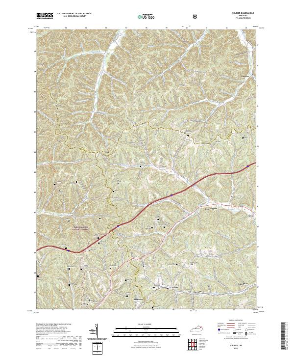
1951 Soldier
Carter County, KY
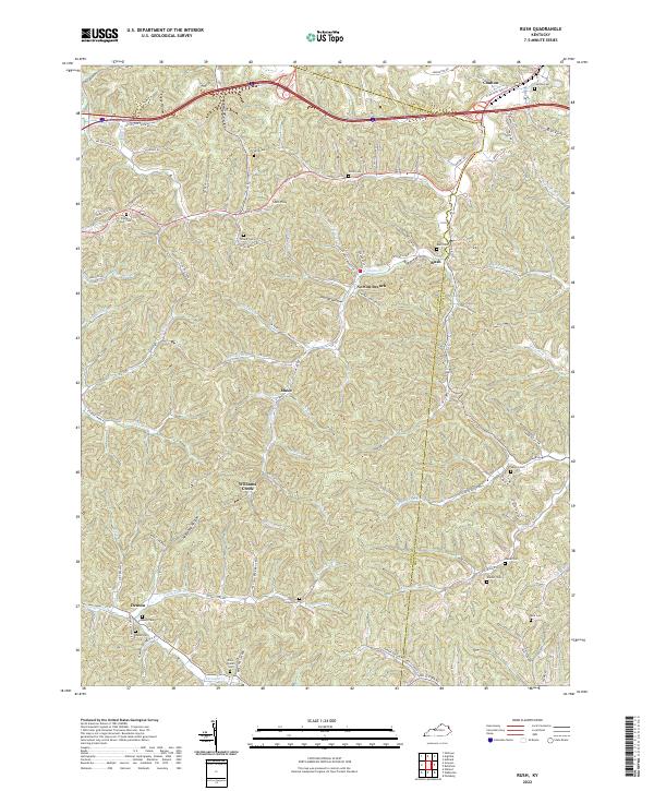
1953 Rush
Carter County, KY
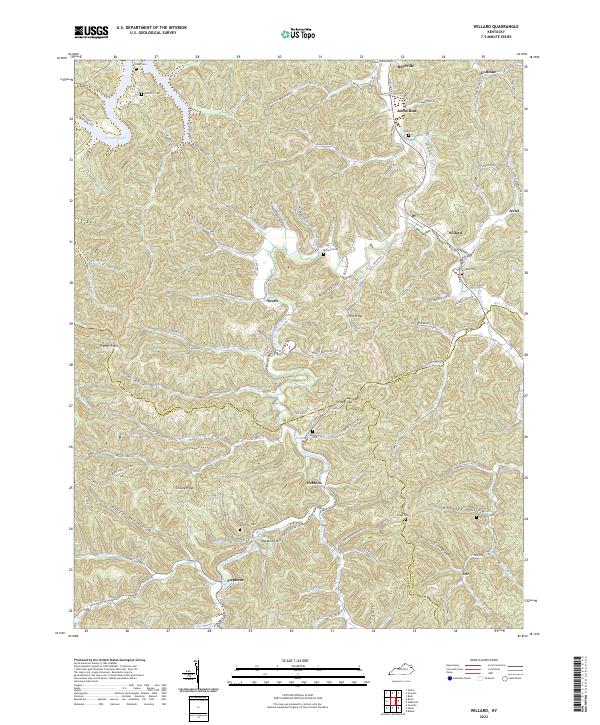
1953 Willard
Carter County, KY
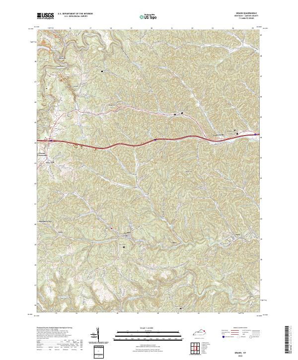
1962 Grahn
Carter County, KY
1962 Tygarts Valley
Carter County, KY
1962 Wesleyville
Carter County, KY
1970 Grahn
Carter County, KY
1970 Soldier
Carter County, KY
1970 Willard
Carter County, KY
1971 Rush
Carter County, KY
2010 Grahn
Carter County, KY
2010 Rush
Carter County, KY
2010 Tygarts Valley
Carter County, KY
2010 Wesleyville
Carter County, KY
2010 Willard
Carter County, KY
2011 Soldier
Carter County, KY
2013 Grahn
Carter County, KY
2013 Rush
Carter County, KY
2013 Soldier
Carter County, KY
2013 Tygarts Valley
Carter County, KY
2013 Wesleyville
Carter County, KY
2013 Willard
Carter County, KY
2016 Grahn
Carter County, KY
2016 Rush
Carter County, KY
2016 Soldier
Carter County, KY
2016 Tygarts Valley
Carter County, KY
2016 Wesleyville
Carter County, KY
2016 Willard
Carter County, KY
2019 Grahn
Carter County, KY
2019 Rush
Carter County, KY
2019 Soldier
Carter County, KY
2019 Tygarts Valley
Carter County, KY
2019 Wesleyville
Carter County, KY
2019 Willard
Carter County, KY
2022 Grahn
Carter County, KY
2022 Rush
Carter County, KY
2022 Soldier
Carter County, KY
2022 Tygarts Valley
Carter County, KY
2022 Wesleyville
Carter County, KY
2022 Willard
Carter County, KY