Loading...
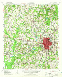
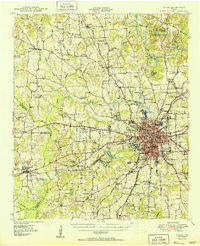
Loading map...1956 Map of Tyler
USGS Topo · Published 1973About this map
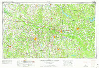
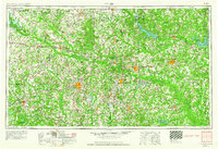
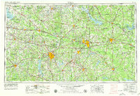
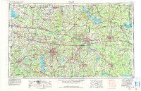
Tyler and the surrounding East Texas oil fields emerge as a major industrial corridor in this mid-century survey. The landscape is defined by the heavy infrastructure of the era, from the Longhorn Ordnance Works near Caddo Lake to the intricate network of the Texas & Pacific RR and St. Louis Southwestern RR lines that linked cities like Longview, Marshall, and Gladewater. Significant water management projects are visible at the Iron Bridge Dam on Lake Tawakoni and the Spillway 250 at Lake O' the Pines.
Find a feature on this map
156 named features on this map. Tap any name to fly to it.
Don’t see what you’re looking for? This feature index may not catch every label — zoom into the map to look around manually.
Map Details
Date Portrayed1956
Date Published1973
PublisherU.S. Geological Survey
Map TypeTopographic
Scale1:250,000
Physical Dimensions32.2 x 22.1 inches
Editions of this 1956 Tyler Map
5 editions found

Historical Maps of Tyler Through Time
6 maps found


Featured Locations
Source Details
SourceU.S. Geological Survey
CopyrightPublic Domain