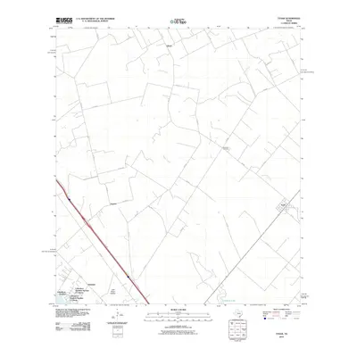
2010 Map of Tynan
USGS Topo · Published 2010About this map
Tynan and Argenta anchor this San Patricio County landscape, where the agricultural grid meets the drainage systems of the Texas Coastal Plain. The map reveals a transition from traditional rural settlements to modern residential developments, notably the three distinct sectors of Lakeshore Gardens, Lakeshore Gardens Number 1 Colonia, and Lakeshore Gardens Number 2 Colonia. These colonia developments represent a significant pattern of land use and housing in South Texas during this era.
Find a feature on this map
39 named features on this map. Tap any name to fly to it.
Don’t see what you’re looking for? This feature index may not catch every label — zoom into the map to look around manually.
Map Details
Editions of this 2010 Tynan Map
This is the sole edition of this map. No revisions or reprints were ever made.
Other maps of this area

1925 · Mathis No. 2
USGS Topo · 1:48,000

1925 · Mathis No. 3
USGS Topo · 1:48,000

1927 · Mathis
USGS Topo · 1:62,500

1953 · Beeville
USGS Topo · 1:250,000

1954 · Skidmore
USGS Topo · 1:62,500

1954 · Fleming
USGS Topo · 1:62,500

1954 · Mathis
USGS Topo · 1:62,500

1954 · Sinton
USGS Topo · 1:62,500

1956 · Beeville
USGS Topo · 1:250,000

1960 · Beeville
USGS Topo · 1:250,000