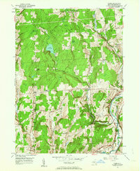
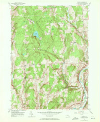
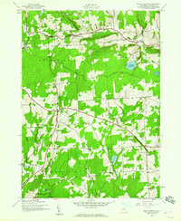
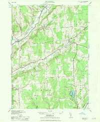
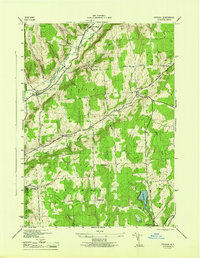
1949 Map of Tyner
USGS Topo · Published 1963About this map
Smithville and McDonough townships define the high, wooded ground of Chenango County in this mid-century portrait. The landscape is marked by a series of small rural corners and settlements such as Tyner, Smithville Center, and Norton Corners, many linked by the winding courses of Ludlow Creek and Bowman Creek. In the eastern section, the Chenango River valley provides a distinct contrast to the upland ridges, carrying the tracks of the Delaware Lackawanna and Western railroad and the traces of an Abandoned Canal.
Find a feature on this map
49 named features on this map. Tap any name to fly to it.
Don’t see what you’re looking for? This feature index may not catch every label — zoom into the map to look around manually.
Map Details
Editions of this 1949 Tyner Map
3 editions found

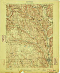
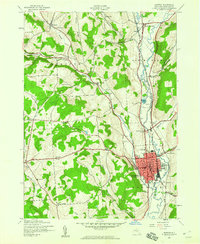
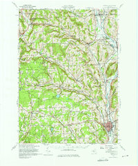
Other maps of this area

1902 · Coventry
USGS Topo · 1:62,500
1903 · Norwich
USGS Topo · 1:62,500

1904 · Greene
USGS Topo · 1:62,500

1904 · Oxford
USGS Topo · 1:62,500

1904 · Pitcher
USGS Topo · 1:62,500
1943 · Norwich
USGS Topo · 1:24,000
1943 · East Pharsalia
USGS Topo · 1:24,000
1943 · Pitcher
USGS Topo · 1:24,000
1943 · Norwich
USGS Topo · 1:62,500
1944 · Pitcher
USGS Topo · 1:31,680