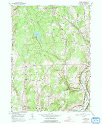
1949 Map of Tyner
USGS Topo · Published 1992About this map
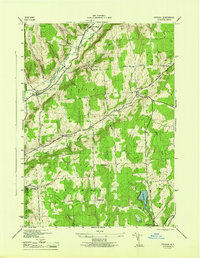
The Chenango River valley serves as the primary corridor for transportation and water drainage in this rural section of Chenango County. The landscape is defined by the Delaware Lackawanna and Western railroad tracks and the remnants of an Abandoned Canal following the river's eastern bank, illustrating a transition from early waterway transport to steam-age rail. Numerous family-named crossroads and small settlements like Tyner and Smithville Center anchor the local geography, while elevated water bodies such as Lake Ludlow and Wurn Lake dot the upland terrain.
Find a feature on this map
42 named features on this map. Tap any name to fly to it.
Don’t see what you’re looking for? This feature index may not catch every label — zoom into the map to look around manually.
Map Details
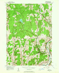
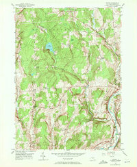
Editions of this 1949 Tyner Map
3 editions found
Other maps of this area

1902 · Coventry
USGS Topo · 1:62,500

1903 · Norwich
USGS Topo · 1:62,500

1904 · Greene
USGS Topo · 1:62,500

1904 · Oxford
USGS Topo · 1:62,500

1904 · Pitcher
USGS Topo · 1:62,500

1943 · Norwich
USGS Topo · 1:24,000

1943 · East Pharsalia
USGS Topo · 1:24,000

1943 · Pitcher
USGS Topo · 1:24,000
1943 · Norwich
USGS Topo · 1:62,500
1944 · Pitcher
USGS Topo · 1:31,680