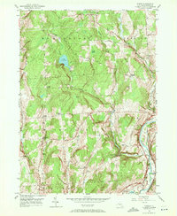
1949 Map of Tyner
USGS Topo · Published 1972About this map
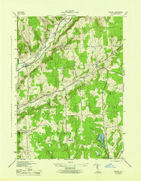
Lake Ludlow serves as a prominent landmark in this Chenango County landscape, where the headwaters of Ludlow Creek and Bowman Creek carve through the upland terrain of McDonough and Smithville. The eastern edge of the survey captures a critical transportation corridor along the Chenango River, featuring the tracks of the Delaware Lackawanna and Western railroad and the historical footprint of an Abandoned Canal. This intersection of rail and water transport, evidenced by Coventry Sta, highlights the shift from early 19th-century canal traffic to the mid-century dominance of the railroad.
Find a feature on this map
56 named features on this map. Tap any name to fly to it.
Don’t see what you’re looking for? This feature index may not catch every label — zoom into the map to look around manually.
Map Details
Editions of this 1949 Tyner Map
3 editions found
Other maps of this area

1902 · Coventry
USGS Topo · 1:62,500

1903 · Norwich
USGS Topo · 1:62,500

1904 · Greene
USGS Topo · 1:62,500

1904 · Oxford
USGS Topo · 1:62,500

1904 · Pitcher
USGS Topo · 1:62,500

1943 · Norwich
USGS Topo · 1:24,000

1943 · East Pharsalia
USGS Topo · 1:24,000

1943 · Pitcher
USGS Topo · 1:24,000
1943 · Norwich
USGS Topo · 1:62,500
1944 · Pitcher
USGS Topo · 1:31,680