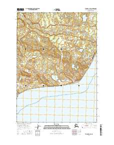
2016 Map of Tyonek A-4 SE
USGS Topo · Published 2016About this map
The coastal village of Tyonek sits perched above the Cook Inlet along the southwestern edge of the Susitna basin. This maritime landscape is defined by the transition from the marshy Chuit Flats to the prominent coastal headland at North Foreland. The map reveals a complex hydrologic network of tundra lakes including Kaldachabuna Lake, Chuitbuna Lake, and the chain of Spring Water Lakes, all draining toward the coast via small waterways like Tyonek Cr.
Find a feature on this map
28 named features on this map. Tap any name to fly to it.
Don’t see what you’re looking for? This feature index may not catch every label — zoom into the map to look around manually.
Map Details
Editions of this 2016 Tyonek A-4 SE Map
This is the sole edition of this map. No revisions or reprints were ever made.
Other maps of this area

1944 · Kenai
USGS Topo · 1:250,000

1949 · Tyonek
USGS Topo · 1:250,000

1950 · Kenai
USGS Topo · 1:250,000

1950 · Kenai D-4
USGS Topo · 1:63,360

1951 · Tyonek
USGS Topo · 1:250,000

1951 · Kenai D-3
USGS Topo · 1:63,360

1952 · Kenai D-3
USGS Topo · 1:63,360

1952 · Kenai D-4
USGS Topo · 1:63,360

1958 · Tyonek A-4
USGS Topo · 1:63,360
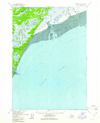
1958 · Tyonek A-3
USGS Topo · 1:63,360