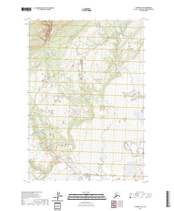
2023 Map of Tyonek B-3 SE
USGS Topo · Published 2023About this map
Susitna sits at the edge of a complex network of wetlands and waterways on the northern shore of Cook Inlet, where the landscape is defined by the meandering paths of the Theodore River and the Lewis River. The terrain is characterized by extensive marshlands and braided river systems typical of the Matanuska-Susitna region, with the Ivan River cutting through the northeast. Settlement is sparse, represented primarily by the pocket of activity at Susitna, which remains connected to the broader region via the Beluga Highway. This coastal corridor reflects the specialized infrastructure required for Alaska's interior logistics, where roads must navigate around vast, shifting delta environments. The map documents the intricate hydrology of the area, showing how the natural drainages shift as they approach the inlet, a vital reference for understanding the physical geography of this coastal wilderness.
Find a feature on this map
11 named features on this map. Tap any name to fly to it.
Don’t see what you’re looking for? This feature index may not catch every label — zoom into the map to look around manually.
Map Details
Editions of this 2023 Tyonek B-3 SE Map
This is the sole edition of this map. No revisions or reprints were ever made.
Other maps of this area

1949 · Tyonek
USGS Topo · 1:250,000

1951 · Tyonek
USGS Topo · 1:250,000

1951 · Tyonek A-2
USGS Topo · 1:63,360

1952 · Tyonek A-2
USGS Topo · 1:63,360

1958 · Tyonek B-3
USGS Topo · 1:63,360
1958 · Tyonek A-3
USGS Topo · 1:63,360

1958 · Tyonek B-2
USGS Topo · 1:63,360

1958 · Tyonek
USGS Topo · 1:250,000

1965 · Tyonek
USGS Topo · 1:250,000
2013 · Tyonek B-3 SW
USGS Topo · 1:25,000