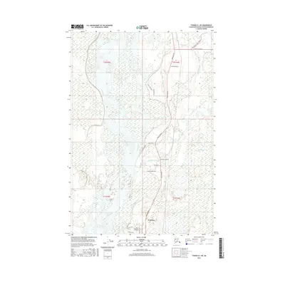
2016 Map of Tyonek D-1 NE
USGS Topo · Published 2016About this map
The Susitna River dominates this landscape in the Matanuska-Susitna Borough, its braided channels and wide gravel bars defining the western half of the territory. The river system is fed by numerous tributaries including the Kashwitna River, Sheep Creek, and Caswell Creek, illustrating the complex hydrology of this Alaskan corridor. Near the southern edge, the settlement of Kashwitna serves as a local hub, situated where the Parks Highway intersects the drainage of the 196-Mile Cr.
Find a feature on this map
30 named features on this map. Tap any name to fly to it.
Don’t see what you’re looking for? This feature index may not catch every label — zoom into the map to look around manually.
Map Details
Editions of this 2016 Tyonek D-1 NE Map
This is the sole edition of this map. No revisions or reprints were ever made.
Other maps of this area

1949 · Tyonek
USGS Topo · 1:250,000

1949 · Anchorage D-8
USGS Topo · 1:63,360

1950 · Talkeetna Mountains
USGS Topo · 1:250,000

1950 · Talkeetna
USGS Topo · 1:250,000

1950 · Talkeetna Mountains A-6
USGS Topo · 1:63,360

1951 · Talkeetna
USGS Topo · 1:250,000

1951 · Anchorage
USGS Topo · 1:250,000

1951 · Tyonek
USGS Topo · 1:250,000

1951 · Anchorage D-8
USGS Topo · 1:63,360

1952 · Tyonek D-1
USGS Topo · 1:63,360