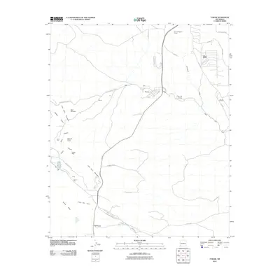
2010 Map of Tyrone
USGS Topo · Published 2010About this map
The Tyrone Mine and its associated industrial infrastructure dominate the high desert terrain of southwestern New Mexico in the first decade of the 2000s. This survey illustrates the proximity of modern residential developments like Silver Acres and the planned community of Tyrone to large-scale extraction operations. The landscape is a mix of heavy industry and natural drainage systems, where Mangas Creek and Oak Grove Creek cut through the foothills of the Little Burro Mountains.
Find a feature on this map
38 named features on this map. Tap any name to fly to it.
Don’t see what you’re looking for? This feature index may not catch every label — zoom into the map to look around manually.
Map Details
Editions of this 2010 Tyrone Map
This is the sole edition of this map. No revisions or reprints were ever made.
Other maps of this area

1909 · Silver City
USGS Topo · 1:125,000

1947 · Fort Bayard
USGS Topo · 1:24,000

1949 · Fort Bayard
USGS Topo · 1:24,000

1949 · Whitewater
USGS Topo · 1:24,000

1949 · Hurley West
USGS Topo · 1:24,000

1949 · Circle Mesa
USGS Topo · 1:24,000

1950 · Tyrone
USGS Topo · 1:24,000

1950 · White Signal
USGS Topo · 1:24,000

1950 · Wind Mountain
USGS Topo · 1:24,000

1950 · Burro Peak
USGS Topo · 1:24,000