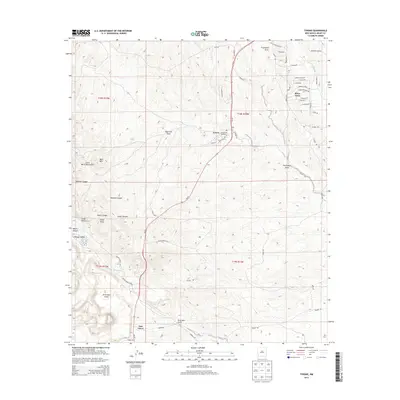
2013 Map of Tyrone
USGS Topo · Published 2013About this map
The Little Burro Mountains dominate this Grant County landscape, providing a dramatic backdrop for the residential and industrial areas of southwestern New Mexico. The community of Silver Acres sits near the San Vicente Arroyo, while further west, the Phelps Dodge Mine indicates the significant mining footprint that has long influenced the local economy. The terrain is deeply incised by drainages such as Graveyard Draw, Pipe Line Draw, and Brick Kiln Gulch, which channel seasonal runoff through the arid environment.
Find a feature on this map
44 named features on this map. Tap any name to fly to it.
Don’t see what you’re looking for? This feature index may not catch every label — zoom into the map to look around manually.
Map Details
Editions of this 2013 Tyrone Map
This is the sole edition of this map. No revisions or reprints were ever made.
Other maps of this area

1909 · Silver City
USGS Topo · 1:125,000

1947 · Fort Bayard
USGS Topo · 1:24,000

1949 · Fort Bayard
USGS Topo · 1:24,000

1949 · Whitewater
USGS Topo · 1:24,000

1949 · Hurley West
USGS Topo · 1:24,000

1949 · Circle Mesa
USGS Topo · 1:24,000

1950 · Tyrone
USGS Topo · 1:24,000

1950 · White Signal
USGS Topo · 1:24,000

1950 · Wind Mountain
USGS Topo · 1:24,000

1950 · Burro Peak
USGS Topo · 1:24,000