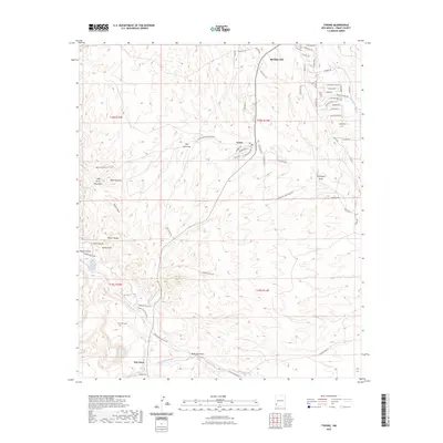
2023 Map of Tyrone
USGS Topo · Published 2023About this map
Tyrone sits at the heart of this high-desert landscape in Grant County, where the southern foothills of the Little Burro Mountains meet a complex network of seasonal drainages and residential growth. Modern street layouts around the northern portion of the map, including Vista Grande Rd and Fairway Dr, contrast with the older rural routes that follow the natural topography. The terrain is defined by prominent elevations such as Bald Mountain and Indian Peak, while watercourses like Mangas Creek and the San Vicente Arroyo weave through the canyons. Notable for local historians and genealogists is the Savannah Cem, located south of Mangas Valley Rd. Further south, the settlement of Oak Grove marks the transition into the drainage of Oak Grove Creek and Brick Kiln Gulch, illustrating the sparse but deliberate footprint of human activity in this arid region.
Find a feature on this map
66 named features on this map. Tap any name to fly to it.
Don’t see what you’re looking for? This feature index may not catch every label — zoom into the map to look around manually.
Map Details
Editions of this 2023 Tyrone Map
This is the sole edition of this map. No revisions or reprints were ever made.
Other maps of this area

1909 · Silver City
USGS Topo · 1:125,000

1947 · Fort Bayard
USGS Topo · 1:24,000

1949 · Fort Bayard
USGS Topo · 1:24,000

1949 · Whitewater
USGS Topo · 1:24,000

1949 · Hurley West
USGS Topo · 1:24,000

1949 · Circle Mesa
USGS Topo · 1:24,000

1950 · Tyrone
USGS Topo · 1:24,000

1950 · White Signal
USGS Topo · 1:24,000

1950 · Wind Mountain
USGS Topo · 1:24,000

1950 · Burro Peak
USGS Topo · 1:24,000