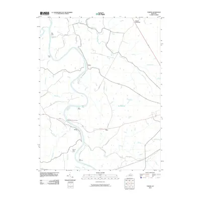
2010 Map of Tyrone
USGS Topo · Published 2010About this map
The Kentucky River carves a deep, winding path through this region of Anderson County, defining the local geography and historical settlement patterns. Along its banks, the community of Tyrone serves as a focal point near the Blackburn Memorial Bridge, while smaller hamlets like Milner and Clifton are situated further inland and along the river's bends. The landscape is marked by numerous watercourses including Griers Creek, Buck Run, and Glenns Creek, which feed into the main river channel.
Find a feature on this map
39 named features on this map. Tap any name to fly to it.
Don’t see what you’re looking for? This feature index may not catch every label — zoom into the map to look around manually.
Map Details
Editions of this 2010 Tyrone Map
This is the sole edition of this map. No revisions or reprints were ever made.
Other maps of this area

1905 · Harrodsburg
USGS Topo · 1:125,000

1906 · Georgetown
USGS Topo · 1:62,500

1908 · Georgetown
USGS Topo · 1:62,500

1922 · Frankfort
USGS Topo · 1:48,000

1924 · Frankfort
USGS Topo · 1:62,500

1951 · Lawrenceburg
USGS Topo · 1:24,000

1952 · Keene
USGS Topo · 1:24,000

1952 · Salvisa
USGS Topo · 1:24,000

1952 · Mc Brayer
USGS Topo · 1:24,000

1952 · Midway
USGS Topo · 1:24,000