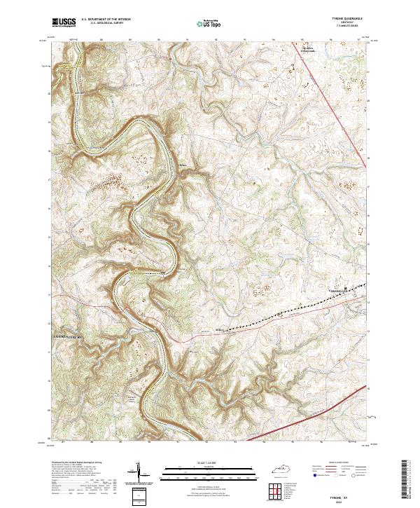
2022 Map of Tyrone
USGS Topo · Published 2022About this map
The Kentucky River winds sharply through the heart of this region, carving distinct landmarks like Germany Bend and the overlook at Lovers Leap. This area, situated where the borders of Anderson and Woodford counties meet, is defined by the deep valley of Pool 4 Tri and the numerous small waterways that feed it, including Glenns Creek and Wildcat Creek. The local transportation network is anchored by the Southern Railway corridor, which passes through the community of Tyrone as it crosses the river gorge.
Find a feature on this map
74 named features on this map. Tap any name to fly to it.
Don’t see what you’re looking for? This feature index may not catch every label — zoom into the map to look around manually.
Map Details
Editions of this 2022 Tyrone Map
This is the sole edition of this map. No revisions or reprints were ever made.
Other maps of this area

1905 · Harrodsburg
USGS Topo · 1:125,000

1906 · Georgetown
USGS Topo · 1:62,500

1908 · Georgetown
USGS Topo · 1:62,500

1922 · Frankfort
USGS Topo · 1:48,000

1924 · Frankfort
USGS Topo · 1:62,500

1951 · Lawrenceburg
USGS Topo · 1:24,000

1952 · Keene
USGS Topo · 1:24,000

1952 · Salvisa
USGS Topo · 1:24,000

1952 · Mc Brayer
USGS Topo · 1:24,000

1952 · Midway
USGS Topo · 1:24,000