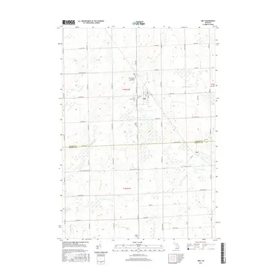
2017 Map of Ubly
USGS Topo · Published 2017About this map
Ubly serves as the primary hub of this agricultural landscape in Michigan's Thumb region, situated where the N Br Cass River meanders through the township. The village's street grid, including N Washington St and E Main St, reflects a classic Midwestern settlement pattern centered on local commerce and community life. To the southeast lies the smaller hamlet of Tyre, positioned near the boundary between Huron County and Sanilac County.
Find a feature on this map
55 named features on this map. Tap any name to fly to it.
Don’t see what you’re looking for? This feature index may not catch every label — zoom into the map to look around manually.
Map Details
Editions of this 2017 Ubly Map
This is the sole edition of this map. No revisions or reprints were ever made.
Other maps of this area

1954 · Flint
USGS Topo · 1:250,000

1958 · Flint
USGS Topo · 1:250,000

1963 · New Greenleaf
USGS Topo · 1:24,000

1963 · Ubly
USGS Topo · 1:24,000

1963 · Minden City
USGS Topo · 1:24,000

1963 · Palms
USGS Topo · 1:24,000

1963 · Shabbona
USGS Topo · 1:24,000

1963 · Argyle
USGS Topo · 1:24,000

1970 · Bad Axe West
USGS Topo · 1:24,000

1970 · Bad Axe SE
USGS Topo · 1:24,000