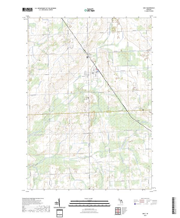
2023 Map of Ubly
USGS Topo · Published 2023About this map
Ubly serves as the central hub of this agricultural landscape in the Thumb of Michigan, situated at the intersection of S Ubly Rd and E Main St. The village is defined by a dense grid of residential and commercial streets, including Franklin St and Queen, while the surrounding countryside is partitioned into square sections by a network of farm-to-market routes like Bay City Forestville Rd. The drainage of these flatlands is managed through an intricate system of man-made and natural channels such as Bingham Drain and the North Branch Cass River. Local history is preserved in several rural burial grounds, including the Saint John the Evangelist Catholic Cem and the Old Saint John's Cem. To the southeast, the small settlement of Tyre sits near the crossing of Tyre Drain and the South Fork Cass River, marking a quiet corner of the Sanilac and Huron County line.
Find a feature on this map
72 named features on this map. Tap any name to fly to it.
Don’t see what you’re looking for? This feature index may not catch every label — zoom into the map to look around manually.
Map Details
Editions of this 2023 Ubly Map
This is the sole edition of this map. No revisions or reprints were ever made.
Other maps of this area

1954 · Flint
USGS Topo · 1:250,000

1958 · Flint
USGS Topo · 1:250,000

1963 · New Greenleaf
USGS Topo · 1:24,000

1963 · Ubly
USGS Topo · 1:24,000

1963 · Minden City
USGS Topo · 1:24,000

1963 · Palms
USGS Topo · 1:24,000

1963 · Shabbona
USGS Topo · 1:24,000

1963 · Argyle
USGS Topo · 1:24,000

1970 · Bad Axe West
USGS Topo · 1:24,000

1970 · Bad Axe SE
USGS Topo · 1:24,000