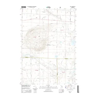
2014 Map of Udell
USGS Topo · Published 2014About this map
The Manistee National Forest defines this section of northern Michigan, where the rugged topography of the Udell Hills transitions into a dense network of glacial lakes and river systems. Central to the map is the path of the N Country National Scenic Trail, which winds through the hills toward the Little Manistee River. The river corridor is marked by the historical crossing at Ninemile Bridge, a local landmark that has long served as a waypoint for travelers and recreationalists in the region.
Find a feature on this map
61 named features on this map. Tap any name to fly to it.
Don’t see what you’re looking for? This feature index may not catch every label — zoom into the map to look around manually.
Map Details
Editions of this 2014 Udell Map
This is the sole edition of this map. No revisions or reprints were ever made.
Other maps of this area

1931 · Freesoil SW
USGS Topo · 1:31,680

1932 · Freesoil SE
USGS Topo · 1:31,680

1933 · Peacock SW
USGS Topo · 1:31,680

1933 · Peacock NW
USGS Topo · 1:31,680

1954 · Traverse City
USGS Topo · 1:250,000

1954 · Manitowoc
USGS Topo · 1:250,000

1956 · Onekama
USGS Topo · 1:62,500

1957 · Freesoil
USGS Topo · 1:62,500

1957 · Copemish
USGS Topo · 1:62,500

1957 · Wellston
USGS Topo · 1:62,500