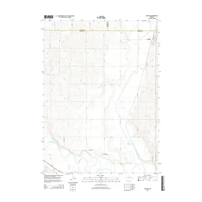
2014 Map of Uehling
USGS Topo · Published 2014About this map
Uehling sits in the northeast corner of this agricultural region where the borders of Cuming, Burt, and Dodge counties converge. The landscape is defined by its complex water systems, particularly the Elkhorn River winding through the southwest and the artificial straightening of the Logan Creek Dredge. This drainage project runs parallel to the Old Channel Logan Creek, showing the 20th-century engineering efforts to manage the floodplain for farming. Evidence of the area's rural heritage is found at Saint Johns Cem, located near the southern bend of the Elkhorn. The map also records family-named infrastructure like Hoegemeyer Rd and Wheatley Rd, which serve the network of section-line roads connecting the town to the surrounding prairie and river valleys.
Find a feature on this map
39 named features on this map. Tap any name to fly to it.
Don’t see what you’re looking for? This feature index may not catch every label — zoom into the map to look around manually.
Map Details
Editions of this 2014 Uehling Map
This is the sole edition of this map. No revisions or reprints were ever made.
Other maps of this area

1955 · Fremont
USGS Topo · 1:250,000

1957 · Fremont
USGS Topo · 1:250,000

1958 · Fremont
USGS Topo · 1:250,000

1966 · Scribner SW
USGS Topo · 1:24,000

1966 · Oakland
USGS Topo · 1:24,000

1966 · West Point SE
USGS Topo · 1:24,000

1966 · Uehling
USGS Topo · 1:24,000

1966 · Nickerson
USGS Topo · 1:24,000

1966 · Hooper
USGS Topo · 1:24,000

1966 · Scribner
USGS Topo · 1:24,000