2021 Map of Uehling
USGS Topo · Published 2021About this map
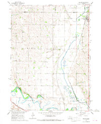
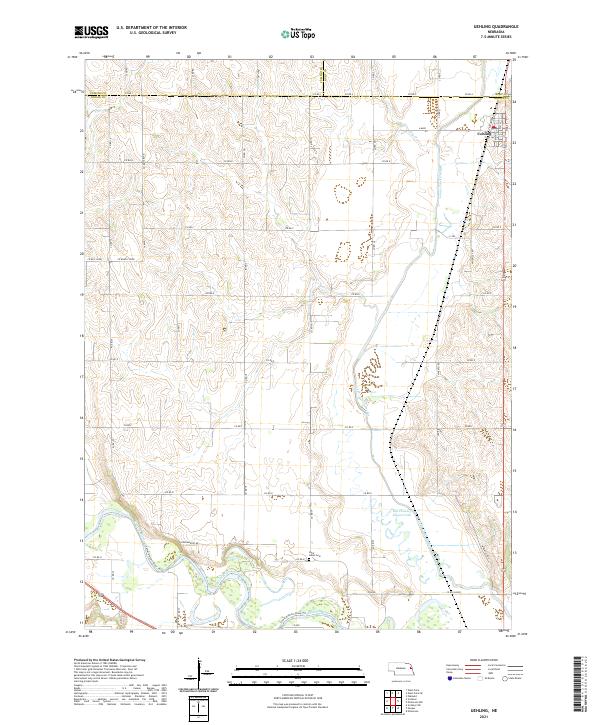
Uehling anchors the northeastern corner of this landscape, situated along the county line where Dodge, Burt, and Cuming counties converge. The geography is defined by a significant hydrographic transition, where the engineered Logan Creek Dredge contrasts with the natural wandering of the Old Channel Logan Creek. To the south, the Elkhorn River and the Lower Elkhorn River Tri create a complex floodplain of meanders and wetlands, illustrating the ongoing management of Nebraska's river systems. The rural sections are organized by a dense grid of county roads, including Hoegemeyer Rd and Co Rd 16, which connect isolated farmsteads to local landmarks like Saint Johns Cem. This survey provides a clear view of the intersection between traditional agriculture and modern water management practices in eastern Nebraska.
Find a feature on this map
38 named features on this map. Tap any name to fly to it.
Don’t see what you’re looking for? This feature index may not catch every label — zoom into the map to look around manually.
Map Details
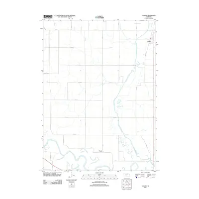
Editions of this 2021 Uehling Map
This is the sole edition of this map. No revisions or reprints were ever made.
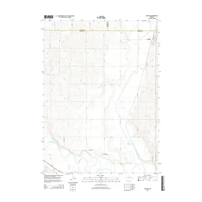
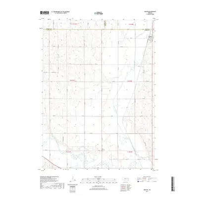
Historical Maps of Uehling Through Time
5 maps found