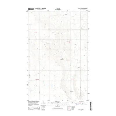
2014 Map of Uhlan Coulee
USGS Topo · Published 2014About this map
Uhlan Coulee and the surrounding drainage basins of Valley County define this northern Montana landscape. The area is characterized by a series of deep erosional features including Johnson Coulee and Enright Coulee, which channel seasonal water toward Porcupine Cr and the wider Porcupine Valley. These landforms dictate the placement of local transport routes like Spring Coulee Rd and Sargent Creek Rd, which navigate the high ground between the various forks and tributaries.
Find a feature on this map
19 named features on this map. Tap any name to fly to it.
Don’t see what you’re looking for? This feature index may not catch every label — zoom into the map to look around manually.
Map Details
Editions of this 2014 Uhlan Coulee Map
This is the sole edition of this map. No revisions or reprints were ever made.
Other maps of this area

1914 · Nashua
USGS Topo · 1:62,500

1916 · Nashua
USGS Topo · 1:62,500

1918 · Porcupine Valley
USGS Topo · 1:62,500

1943 · Glasgow
USGS Topo · 1:125,000

1954 · Glasgow
USGS Topo · 1:250,000

1957 · Glasgow
USGS Topo · 1:250,000

1958 · Glasgow
USGS Topo · 1:250,000

1958 · Whately
USGS Topo · 1:24,000

1969 · Chapman Coulee NE
USGS Topo · 1:24,000

1969 · Hawk Coulee
USGS Topo · 1:24,000