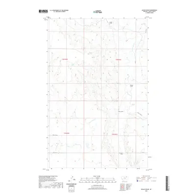
2020 Map of Uhlan Coulee
USGS Topo · Published 2020About this map
Hermans Spring and Erickson Spring provide reliable water sources in this high plains landscape of Valley County, where the terrain is defined by a network of drainage coulees. These erosional features, including Enright Coulee and Johnson Coulee, dictate the layout of the local transport network. Remote ranching access is facilitated by primitive routes such as Geer Rd and Sargent Creek Rd, which navigate the rises between the Porcupine Valley and the surrounding plateaus. The drainage pattern is complex, with the E Fork Porcupine Cr and E Fork Cherry Cr carving through the township sections, illustrating the essential relationship between water and land use in the Frazer District.
Find a feature on this map
19 named features on this map. Tap any name to fly to it.
Don’t see what you’re looking for? This feature index may not catch every label — zoom into the map to look around manually.
Map Details
Editions of this 2020 Uhlan Coulee Map
This is the sole edition of this map. No revisions or reprints were ever made.
Other maps of this area

1914 · Nashua
USGS Topo · 1:62,500

1916 · Nashua
USGS Topo · 1:62,500

1918 · Porcupine Valley
USGS Topo · 1:62,500

1943 · Glasgow
USGS Topo · 1:125,000

1954 · Glasgow
USGS Topo · 1:250,000

1957 · Glasgow
USGS Topo · 1:250,000

1958 · Glasgow
USGS Topo · 1:250,000

1958 · Whately
USGS Topo · 1:24,000

1969 · Chapman Coulee NE
USGS Topo · 1:24,000

1969 · Hawk Coulee
USGS Topo · 1:24,000