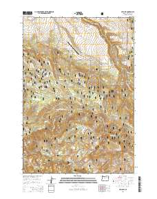
2014 Map of Ukiah SE
USGS Topo · Published 2014About this map
The North Fork John Day River carves through the southwestern corner of this landscape, marking a significant drainage point within the Umatilla National Forest. This section of Umatilla County is defined by a dense network of forest development roads that navigate between high ridges and deep incisions like Randall Canyon and Meengs Canyon. The Cable Creek Ranch Airport stands as a notable human imprint in this otherwise remote timber and grazing land, located near the confluence of Pine Cr and Cable Cr. Numerous water sources, including the distinctively named Hello Boy Spring, Overtime Spring, and Ross Spring, are mapped alongside smaller tributaries like Texas Bar Cr and Sulphur Cr, illustrating the complex hydrology of the Blue Mountains region.
Find a feature on this map
48 named features on this map. Tap any name to fly to it.
Don’t see what you’re looking for? This feature index may not catch every label — zoom into the map to look around manually.
Map Details
Editions of this 2014 Ukiah SE Map
This is the sole edition of this map. No revisions or reprints were ever made.
Other maps of this area

1951 · Dale
USGS Topo · 1:62,500

1951 · Desolation Butte
USGS Topo · 1:62,500

1953 · Pendleton
USGS Topo · 1:250,000

1955 · Canyon City
USGS Topo · 1:250,000

1956 · Pendleton
USGS Topo · 1:250,000

1959 · Canyon City
USGS Topo · 1:250,000

1967 · Ukiah SE
USGS Topo · 1:24,000

1967 · Lehman Springs
USGS Topo · 1:24,000

1967 · Pearson Ridge
USGS Topo · 1:24,000

1967 · Bridge Creek
USGS Topo · 1:24,000