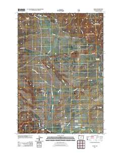
2011 Map of Ukiah
USGS Topo · Published 2011About this map
Ukiah serves as the central hub of this Umatilla County landscape, situated at the junction where Highway 395 meets Highway 244. The town's layout is defined by streets like Leah St and the presence of the Ukiah Post Office, reflecting its role as a local service center. To the north and south, the geography is marked by a network of drainage systems, including Snipe Creek and its many forks, and the larger Camas Creek which winds past the southern edge of the settlement.
Find a feature on this map
37 named features on this map. Tap any name to fly to it.
Don’t see what you’re looking for? This feature index may not catch every label — zoom into the map to look around manually.
Map Details
Editions of this 2011 Ukiah Map
This is the sole edition of this map. No revisions or reprints were ever made.
Other maps of this area

1953 · Pendleton
USGS Topo · 1:250,000

1956 · Pendleton
USGS Topo · 1:250,000

1967 · Ukiah SE
USGS Topo · 1:24,000

1967 · Granite Meadows
USGS Topo · 1:24,000

1967 · Bridge Creek
USGS Topo · 1:24,000

1967 · Carney Butte
USGS Topo · 1:24,000

1967 · Ukiah
USGS Topo · 1:24,000

1967 · Owens Butte
USGS Topo · 1:24,000

1968 · Gurdane
USGS Topo · 1:24,000

1969 · Sugarbowl Creek
USGS Topo · 1:24,000