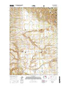
2017 Map of Ukiah
USGS Topo · Published 2017About this map
The town of Ukiah serves as a small population center within the vast expanse of the Umatilla National Forest, positioned at the junction of State Route 244 and several rural corridors such as Albee Rd. The landscape is defined by its water management and drainage systems, featuring several localized catchments like Leverenz Reservoir and the Weissenfluh Reservoir to the southeast. These water bodies, along with the Ukiah Sewage Lagoon, indicate the infrastructure required for this isolated mountain community.
Find a feature on this map
38 named features on this map. Tap any name to fly to it.
Don’t see what you’re looking for? This feature index may not catch every label — zoom into the map to look around manually.
Map Details
Editions of this 2017 Ukiah Map
This is the sole edition of this map. No revisions or reprints were ever made.
Other maps of this area

1953 · Pendleton
USGS Topo · 1:250,000

1956 · Pendleton
USGS Topo · 1:250,000

1967 · Ukiah SE
USGS Topo · 1:24,000

1967 · Granite Meadows
USGS Topo · 1:24,000

1967 · Bridge Creek
USGS Topo · 1:24,000

1967 · Carney Butte
USGS Topo · 1:24,000

1967 · Ukiah
USGS Topo · 1:24,000

1967 · Owens Butte
USGS Topo · 1:24,000

1968 · Gurdane
USGS Topo · 1:24,000

1969 · Sugarbowl Creek
USGS Topo · 1:24,000