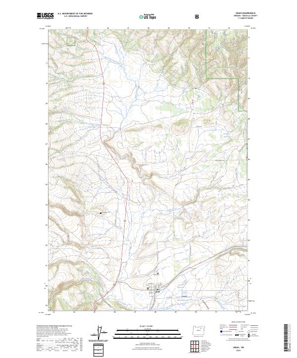
2024 Map of Ukiah
USGS Topo · Published 2024About this map
Ukiah serves as the primary hub in this mountain valley landscape, situated at the confluence where Camas Creek meets the southern edge of the Umatilla National Forest. The settlement is intricately mapped down to residential streets like Waid St and Alba St, anchored by the local Po. The surrounding terrain is defined by a series of north-flowing drainages including Snipe Creek and North Fork Owens Creek, which carve through the high plateaus and canyons of the Blue Mountains. Genealogists and local historians will find the exact placements of the Ukiah Cem and Sturdivant Cem particularly useful, along with several high-altitude water storage features such as Leverenz Reservoir and Kottmeier Reservoir that mark the region's managed water resources.
Find a feature on this map
39 named features on this map. Tap any name to fly to it.
Don’t see what you’re looking for? This feature index may not catch every label — zoom into the map to look around manually.
Map Details
Editions of this 2024 Ukiah Map
This is the sole edition of this map. No revisions or reprints were ever made.
Other maps of this area

1953 · Pendleton
USGS Topo · 1:250,000

1956 · Pendleton
USGS Topo · 1:250,000

1967 · Ukiah SE
USGS Topo · 1:24,000

1967 · Granite Meadows
USGS Topo · 1:24,000

1967 · Bridge Creek
USGS Topo · 1:24,000

1967 · Carney Butte
USGS Topo · 1:24,000

1967 · Ukiah
USGS Topo · 1:24,000

1967 · Owens Butte
USGS Topo · 1:24,000

1968 · Gurdane
USGS Topo · 1:24,000

1969 · Sugarbowl Creek
USGS Topo · 1:24,000