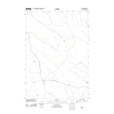
2012 Map of Ulm
USGS Topo · Published 2012About this map
Ulm serves as the central hub of this Sheridan County landscape, where the confluence of ranching roads and water drainage patterns defines the local geography. The settlement is situated at a junction near Prusak Draw and Lone Tree Cr, marking a point of transition between the high plains and the intricate network of draws that channel water toward larger basins. The road network, including the Sheridan-Ulm-Clearmont Rd and Ulm Rd, follows the natural contours of the land, providing access to the various family-named and descriptively titled draws that dominate the topography.
Find a feature on this map
24 named features on this map. Tap any name to fly to it.
Don’t see what you’re looking for? This feature index may not catch every label — zoom into the map to look around manually.
Map Details
Editions of this 2012 Ulm Map
This is the sole edition of this map. No revisions or reprints were ever made.
Other maps of this area

1909 · Sheridan
USGS Topo · 1:125,000

1911 · Sheridan
USGS Topo · 1:125,000

1955 · Sheridan
USGS Topo · 1:250,000

1958 · Sheridan
USGS Topo · 1:250,000

1962 · Sheridan
USGS Topo · 1:250,000
1970 · Horse Hill
USGS Topo · 1:24,000
1970 · Verona
USGS Topo · 1:24,000
1970 · Ulm
USGS Topo · 1:24,000
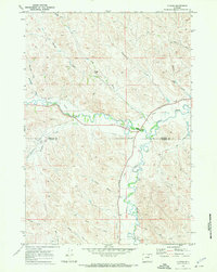
1970 · Ucross
USGS Topo · 1:24,000
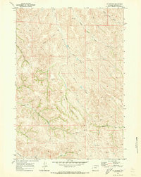
1970 · S R Springs
USGS Topo · 1:24,000