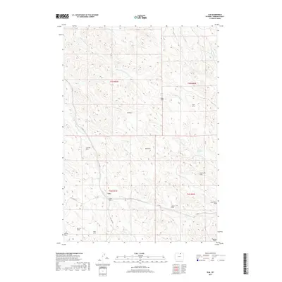
2017 Map of Ulm
USGS Topo · Published 2017About this map
Ulm sits at a junction of high-plains drainage and rural roadways in Sheridan County, where the landscape is defined by an intricate network of draws and seasonal creeks. The terrain is deeply incised by family-named features like Prusak Draw, Jones Draw, and Coleman Draw, illustrating a long history of ranching and land use in this part of Wyoming. Modern infrastructure like Co RD 42 and Coal Creek RD follows the natural contours of the land, connecting the small settlement to the surrounding watershed. To the north and east, the waters of Whitmeyer Cr and Pinhead Cr feed toward the Pinhead Reservoir, highlighting the vital role of water management in this arid environment. This 2017 survey provides a clear look at the intersection of traditional western landmarks and contemporary resource management.
Find a feature on this map
33 named features on this map. Tap any name to fly to it.
Don’t see what you’re looking for? This feature index may not catch every label — zoom into the map to look around manually.
Map Details
Editions of this 2017 Ulm Map
This is the sole edition of this map. No revisions or reprints were ever made.
Other maps of this area

1909 · Sheridan
USGS Topo · 1:125,000

1911 · Sheridan
USGS Topo · 1:125,000

1955 · Sheridan
USGS Topo · 1:250,000

1958 · Sheridan
USGS Topo · 1:250,000

1962 · Sheridan
USGS Topo · 1:250,000
1970 · Horse Hill
USGS Topo · 1:24,000
1970 · Verona
USGS Topo · 1:24,000
1970 · Ulm
USGS Topo · 1:24,000
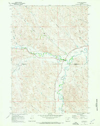
1970 · Ucross
USGS Topo · 1:24,000
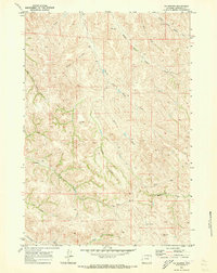
1970 · S R Springs
USGS Topo · 1:24,000