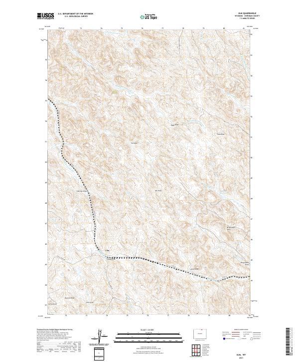
2021 Map of Ulm
USGS Topo · Published 2021About this map
Ulm serves as the primary focal point of this Sheridan County landscape, situated at a junction where local travel routes like Coal Creek Rd and Dutch Creek Rd meet. The area is defined by a dense network of watercourses and topographical draws, which historically dictated the movement of livestock and the placement of early settlements. Several branches of the Arkansas Creek system, including the Middle Fork Arkansas Cr and N Prong Arkansas Cr, weave through the northern sections, while smaller features like Negro Cr and Wagner Prong Dutch Cr mark the western reaches. The presence of Pinhead Reservoir in the east and the convergence of Coal Cr and Donkey Cr near the southern boundary illustrate how water management and natural drainage patterns shaped the agricultural utility of this Wyoming territory.
Find a feature on this map
32 named features on this map. Tap any name to fly to it.
Don’t see what you’re looking for? This feature index may not catch every label — zoom into the map to look around manually.
Map Details
Editions of this 2021 Ulm Map
This is the sole edition of this map. No revisions or reprints were ever made.
Other maps of this area

1909 · Sheridan
USGS Topo · 1:125,000

1911 · Sheridan
USGS Topo · 1:125,000

1955 · Sheridan
USGS Topo · 1:250,000

1958 · Sheridan
USGS Topo · 1:250,000

1962 · Sheridan
USGS Topo · 1:250,000
1970 · Horse Hill
USGS Topo · 1:24,000
1970 · Verona
USGS Topo · 1:24,000
1970 · Ulm
USGS Topo · 1:24,000
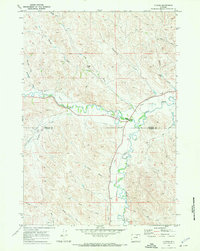
1970 · Ucross
USGS Topo · 1:24,000
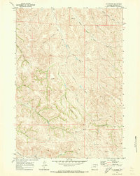
1970 · S R Springs
USGS Topo · 1:24,000