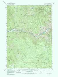
1960 Map of Ulysses Mtn
USGS Topo · Published 1964About this map
Ulysses Mine and the nearby Kitty Burton Mine anchor this high-altitude landscape within the Salmon National Forest, showing the traces of early mining operations in the Salmon River Mountains. The settlement of Ulysses and the Indianola Ranger Station serve as primary human markers along the winding Salmon River, which is noted by river miles such as Mile 221 and Mile 235. The topography is defined by significant summits including Ulysses Mtn, Stormy Peak, and Napoleon Hill. A network of Jeep Trails and standard trails connects remote drainages like Virginia Gulch and Arrastra Gulch, reflecting a time when access to these steep Idaho canyons was primarily dictated by mining prospects and forest management rather than paved thoroughfares. The inclusion of features like Deadwater Spring and Racetrack Meadow provides specific landmarks for those tracing the history of land use in Lemhi County.
Find a feature on this map
73 named features on this map. Tap any name to fly to it.
Don’t see what you’re looking for? This feature index may not catch every label — zoom into the map to look around manually.
Map Details
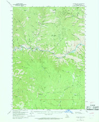
Editions of this 1960 Ulysses Mtn Map
3 editions found

Other maps of this area

1950 · Blackbird Mtn
USGS Topo · 1:62,500

1950 · Salmon
USGS Topo · 1:62,500

1950 · Leesburg
USGS Topo · 1:62,500

1951 · Leesburg
USGS Topo · 1:62,500

1951 · Blackbird Mtn
USGS Topo · 1:62,500

1951 · Salmon
USGS Topo · 1:62,500

1955 · Dillon
USGS Topo · 1:250,000

1956 · Elk City
USGS Topo · 1:250,000

1957 · Dillon
USGS Topo · 1:250,000

1958 · Dillon
USGS Topo · 1:250,000