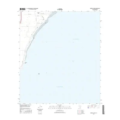
2016 Map of Umbrella Point
USGS Topo · Published 2016About this map
Beach City occupies the northern shoreline of Trinity Bay in this coastal survey, where residential development follows the contour of the water. The landscape is defined by its relation to the Gulf of Mexico, with local landmarks like Point Barrow and Umbrella Point projecting into the bay. The map reflects a community built around its geographic edges, with Cedar Gully Rd and FM 2354 serving as the primary corridors for coastal access.
Find a feature on this map
20 named features on this map. Tap any name to fly to it.
Don’t see what you’re looking for? This feature index may not catch every label — zoom into the map to look around manually.
Map Details
Editions of this 2016 Umbrella Point Map
This is the sole edition of this map. No revisions or reprints were ever made.
Other maps of this area

1916 · Morgan Point
USGS Topo · 1:24,000

1916 · Cedar Bayou
USGS Topo · 1:24,000

1919 · Morgan Point
USGS Topo · 1:31,680

1919 · Cedar Bayou
USGS Topo · 1:31,680

1932 · Clifton By The Sea
USGS Topo · 1:31,680

1933 · Whites Lake
USGS Topo · 1:31,680

1933 · Smith Point
USGS Topo · 1:31,680

1942 · Anahuac
USGS Topo · 1:24,000

1943 · West of Eagle
USGS Topo · 1:31,680
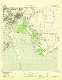
1943 · Morgan Point
USGS Topo · 1:31,680