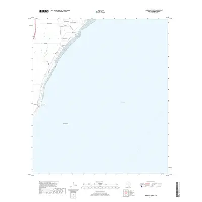
2019 Map of Umbrella Point
USGS Topo · Published 2019About this map
Beach City sits at the edge of Trinity Bay on this 2019 survey, illustrating the residential character along the Chambers County coastline. The landscape is defined by its relation to the water, where Point Barrow and Umbrella Point reach into the bay, and the submerged Fisher Shoals extend offshore. This map is particularly valuable for genealogists and local historians, as it precisely identifies family-named landmarks such as the Barrow Cem and Fisher Cem, which remain tucked among modern developments and roads like FM 2354. Drainage features like Cedar Gully cut through the coastal plain, marking the natural topography behind the shoreline settlements. The map details a transition from the structured street grids of established neighborhoods to the open waters of the bay, recording the intersection of modern infrastructure and long-standing local landmarks.
Find a feature on this map
22 named features on this map. Tap any name to fly to it.
Don’t see what you’re looking for? This feature index may not catch every label — zoom into the map to look around manually.
Map Details
Editions of this 2019 Umbrella Point Map
This is the sole edition of this map. No revisions or reprints were ever made.
Other maps of this area

1916 · Morgan Point
USGS Topo · 1:24,000

1916 · Cedar Bayou
USGS Topo · 1:24,000

1919 · Morgan Point
USGS Topo · 1:31,680

1919 · Cedar Bayou
USGS Topo · 1:31,680

1932 · Clifton By The Sea
USGS Topo · 1:31,680

1933 · Whites Lake
USGS Topo · 1:31,680

1933 · Smith Point
USGS Topo · 1:31,680

1942 · Anahuac
USGS Topo · 1:24,000

1943 · West of Eagle
USGS Topo · 1:31,680
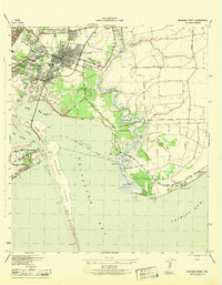
1943 · Morgan Point
USGS Topo · 1:31,680