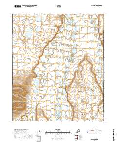
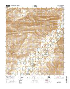
2017 Map of Umiat A-2 NW
USGS Topo · Published 2017About this map
Anaktuvuk River flows northward through this North Slope landscape, carving a wide valley between the drainages of the Tuluga River to the west and the Nanushuk River to the east. The terrain is defined by the prominent elevation of Schrader Bluff, which stands above the meandering river plains. This 2017 survey shows a highly braided and complex hydrological network typical of the Alaskan arctic, where water bodies shift across the tundra floor. The map provides a detailed view of the township and range boundaries, including t3s r4e, t3s r5e, and t2s r5e, illustrating the vast, unpopulated expanse of the North Slope Borough before modern industrial encroachment or settlement infrastructure reached this specific corridor.
Find a feature on this map
10 named features on this map. Tap any name to fly to it.
Don’t see what you’re looking for? This feature index may not catch every label — zoom into the map to look around manually.
Map Details
Editions of this 2017 Umiat A-2 NW Map
This is the sole edition of this map. No revisions or reprints were ever made.
Other maps of this area

1952 · Umiat
USGS Topo · 1:250,000

1955 · Umiat A-3
USGS Topo · 1:63,360

1955 · Umiat B-3
USGS Topo · 1:63,360

1956 · Umiat
USGS Topo · 1:250,000

1964 · Umiat
USGS Topo · 1:250,000

1971 · Umiat A-2
USGS Topo · 1:63,360
1971 · Umiat B-2
USGS Topo · 1:63,360
2016 · Umiat A-3 NE
USGS Topo · 1:25,000
2016 · Umiat B-3 SE
USGS Topo · 1:25,000
2016 · Umiat A-3 SE
USGS Topo · 1:25,000