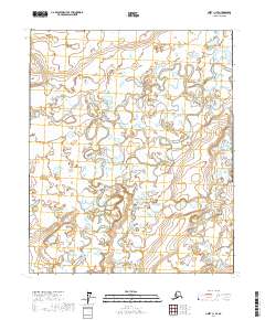
2017 Map of Umiat C-1 SE
USGS Topo · Published 2017About this map
The Kuparuk River winds through this expanse of the North Slope, creating an intricate pattern of meanders and oxbow lakes across the Arctic tundra. The landscape is defined by its low-lying, water-logged terrain, where the river channel splits and reunites among numerous small ponds and wetland features. This area is mapped under the Public Land Survey System, showing the intersections of t3n r7e, t3n r8e, t3n r9e, t2n r7e, t2n r8e, and t2n r9e. The map illustrates the specialized hydrology of the region, where seasonal drainage patterns and permafrost-shaped topography dictate the flow of the river toward the Beaufort Sea to the north. These survey lines provide the only structural markers in an otherwise fluid and shifting environment, which remains largely devoid of permanent human infrastructure or settlements.
Find a feature on this map
7 named features on this map. Tap any name to fly to it.
Don’t see what you’re looking for? This feature index may not catch every label — zoom into the map to look around manually.
Map Details
Editions of this 2017 Umiat C-1 SE Map
This is the sole edition of this map. No revisions or reprints were ever made.
Other maps of this area

1951 · Sagavanirktok D-5
USGS Topo · 1:250,000

1952 · Umiat
USGS Topo · 1:250,000

1956 · Sagavanirktok
USGS Topo · 1:250,000

1956 · Umiat
USGS Topo · 1:250,000

1958 · Sagavanirktok
USGS Topo · 1:250,000

1964 · Umiat
USGS Topo · 1:250,000

1964 · Sagavanirktok
USGS Topo · 1:250,000
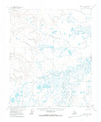
1971 · Umiat C-1
USGS Topo · 1:63,360
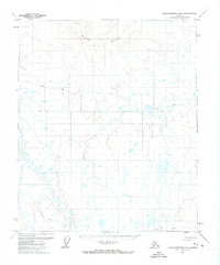
1971 · Sagavanirktok B-5
USGS Topo · 1:63,360
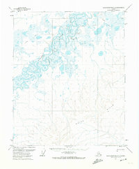
1971 · Sagavanirktok C-5
USGS Topo · 1:63,360