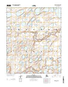
2013 Map of Umiat D-4 SW
USGS Topo · Published 2013About this map
Kikiakrorak River meanders through the southeastern corner of this North Slope landscape, carving a subtle valley through the tundra. The terrain is defined by a dense network of thaw lakes and ponded water, characteristic of the permafrost-affected regions of northern Alaska. These lacustrine features vary significantly in size and shape, scattered across a topography marked by gentle ridges and depressions. This 2013 digital update by the U.S. Geological Survey utilizes precise elevation data to map the complex hydrology of the region, where drainage patterns are often indistinct and seasonally variable. The map provides a detailed view of a remote Alaskan wilderness, highlighting the natural distribution of water bodies across the Arctic coastal plain.
Find a feature on this map
39 named features on this map. Tap any name to fly to it.
Don’t see what you’re looking for? This feature index may not catch every label — zoom into the map to look around manually.
Map Details
Editions of this 2013 Umiat D-4 SW Map
This is the sole edition of this map. No revisions or reprints were ever made.
Other maps of this area

1952 · Umiat
USGS Topo · 1:250,000

1955 · Umiat C-4
USGS Topo · 1:63,360
1955 · Umiat D-5
USGS Topo · 1:63,360
1955 · Umiat D-4
USGS Topo · 1:63,360

1955 · Umiat C-5
USGS Topo · 1:63,360

1956 · Umiat
USGS Topo · 1:250,000

1964 · Umiat
USGS Topo · 1:250,000
2013 · Umiat D-4 SE
USGS Topo · 1:25,000
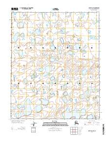
2013 · Umiat D-4 NW
USGS Topo · 1:25,000
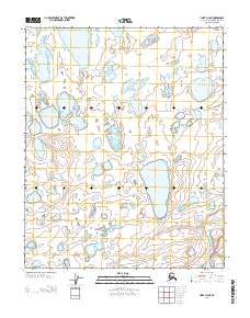
2013 · Umiat D-4 NE
USGS Topo · 1:25,000