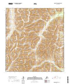
2017 Map of Unalakleet A-5 SE
USGS Topo · Published 2017About this map
Nulato Hills dominate this portion of the Alaskan interior, where high ridgelines and steep drainages define the landscape. The terrain is carved by significant waterways, including the upper reaches of the Swift River and the meandering Beaver Cr to the south. In the northwest, Otter Cr cuts through the uplands, illustrating the complex hydrology of this subarctic region.
Find a feature on this map
14 named features on this map. Tap any name to fly to it.
Don’t see what you’re looking for? This feature index may not catch every label — zoom into the map to look around manually.
Map Details
Editions of this 2017 Unalakleet A-5 SE Map
This is the sole edition of this map. No revisions or reprints were ever made.
Other maps of this area

1951 · Unalakleet
USGS Topo · 1:250,000

1951 · Holy Cross
USGS Topo · 1:250,000

1952 · Unalakleet A-4
USGS Topo · 1:63,360

1952 · Unalakleet A-5
USGS Topo · 1:63,360

1952 · Holy Cross D-5
USGS Topo · 1:63,360

1952 · Holy Cross D-4
USGS Topo · 1:63,360

1952 · Unalakleet
USGS Topo · 1:250,000

1952 · Holy Cross
USGS Topo · 1:250,000

1964 · Unalakleet
USGS Topo · 1:250,000
2016 · Unalakleet A-4 NW
USGS Topo · 1:25,000