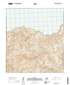
2017 Map of Unalakleet B-6 NE
USGS Topo · Published 2017About this map
Norton Sound defines the northern reaches of this coastal landscape near the Unalakleet region of the Nome Census Area. The shoreline is punctuated by prominent landmarks such as Wood Point and Myoukchuk Point, which serve as critical navigational markers along this stretch of the Bering Sea coast. The terrain transitions from the salt water of the sound into a series of drainages, most notably Quekilok Cr, which cuts through the southern interior. This 2017 survey reveals an area largely defined by its natural geography and topographic contours rather than permanent infrastructure, illustrating the remote and undeveloped character of the Alaskan wilderness. The map provides a detailed view of the township and range divisions, including t23s r16w, t23s r15w, t24s r16w, and t24s r15w, which organize the land south of the coastal points.
Find a feature on this map
8 named features on this map. Tap any name to fly to it.
Don’t see what you’re looking for? This feature index may not catch every label — zoom into the map to look around manually.
Map Details
Editions of this 2017 Unalakleet B-6 NE Map
This is the sole edition of this map. No revisions or reprints were ever made.
Other maps of this area

1951 · Unalakleet
USGS Topo · 1:250,000

1952 · Unalakleet B-6
USGS Topo · 1:63,360

1952 · Unalakleet B-5
USGS Topo · 1:63,360
1952 · Unalakleet C-5
USGS Topo · 1:63,360

1952 · Unalakleet
USGS Topo · 1:250,000

1964 · Unalakleet
USGS Topo · 1:250,000
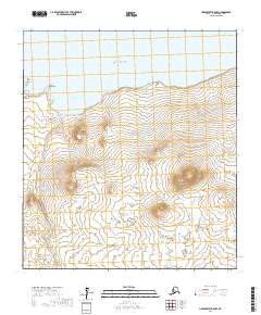
2017 · Unalakleet B-5 NW
USGS Topo · 1:25,000
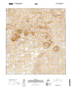
2017 · Unalakleet B-6 SE
USGS Topo · 1:25,000
2017 · Unalakleet B-6 SW
USGS Topo · 1:25,000
2017 · Unalakleet B-6 NW
USGS Topo · 1:25,000