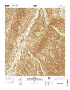
2015 Map of Unalakleet C-3 NW
USGS Topo · Published 2015About this map
The Chiroskey River winds through the heart of this landscape, carving a path through the southern reaches of the Nulato Hills. The terrain is defined by the high, rounded summits of this subarctic upland, where the elevation often rises above 1,500 feet. This 2015 survey reveals the topographical character of the Alaskan interior within the t20s r9w and t21s r9w townships, showing a wilderness area shaped by severe natural drainage patterns.
Find a feature on this map
6 named features on this map. Tap any name to fly to it.
Don’t see what you’re looking for? This feature index may not catch every label — zoom into the map to look around manually.
Map Details
Editions of this 2015 Unalakleet C-3 NW Map
This is the sole edition of this map. No revisions or reprints were ever made.
Other maps of this area

1950 · Unalakleet D-3
USGS Topo · 1:63,360

1950 · Unalakleet D-4
USGS Topo · 1:63,360

1951 · Unalakleet
USGS Topo · 1:250,000

1952 · Unalakleet C-3
USGS Topo · 1:63,360

1952 · Unalakleet C-4
USGS Topo · 1:63,360

1952 · Unalakleet
USGS Topo · 1:250,000

1964 · Unalakleet
USGS Topo · 1:250,000
2015 · Unalakleet C-4 SE
USGS Topo · 1:25,000
2015 · Unalakleet D-3 SE
USGS Topo · 1:25,000
2015 · Unalakleet D-4 SE
USGS Topo · 1:25,000